Itineraries
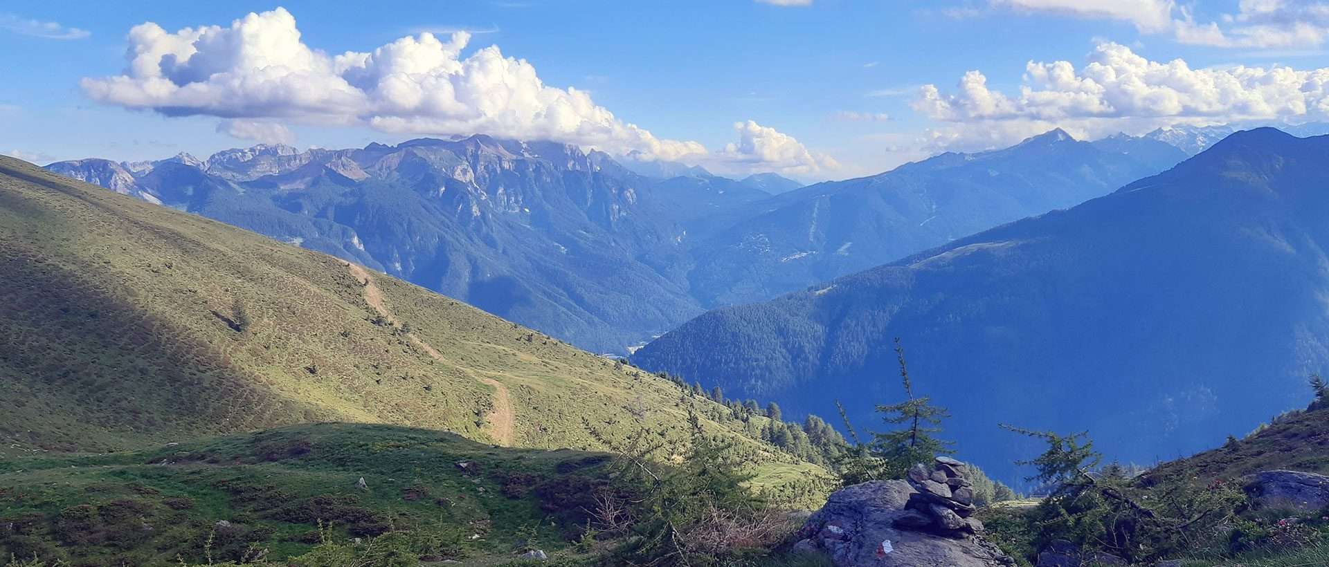
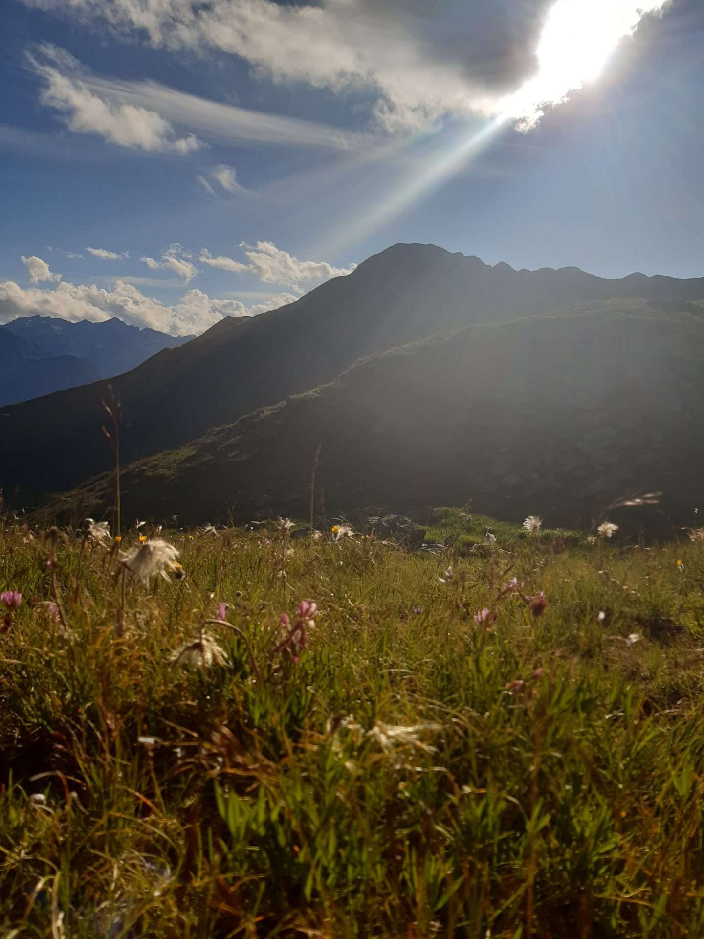
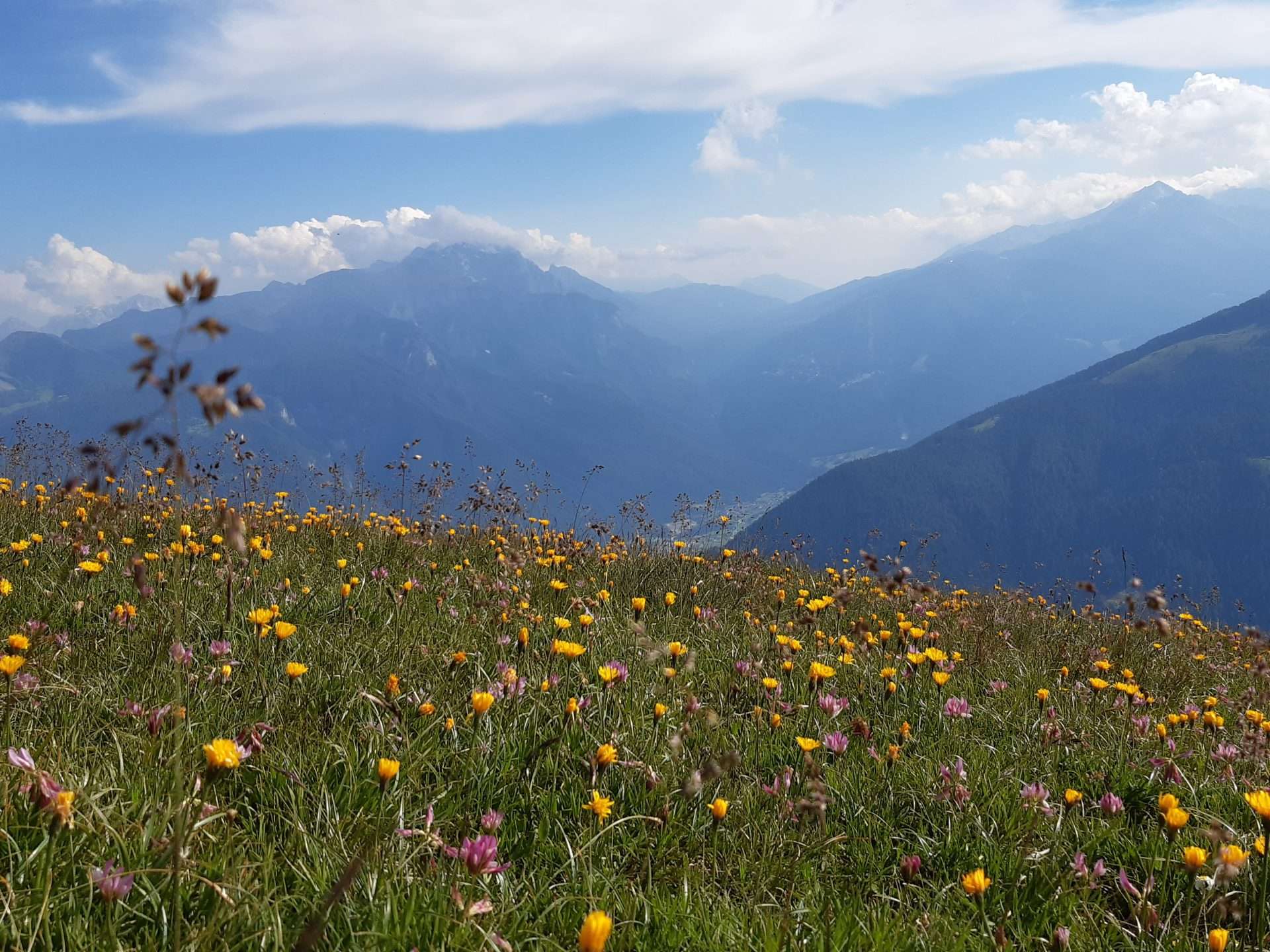
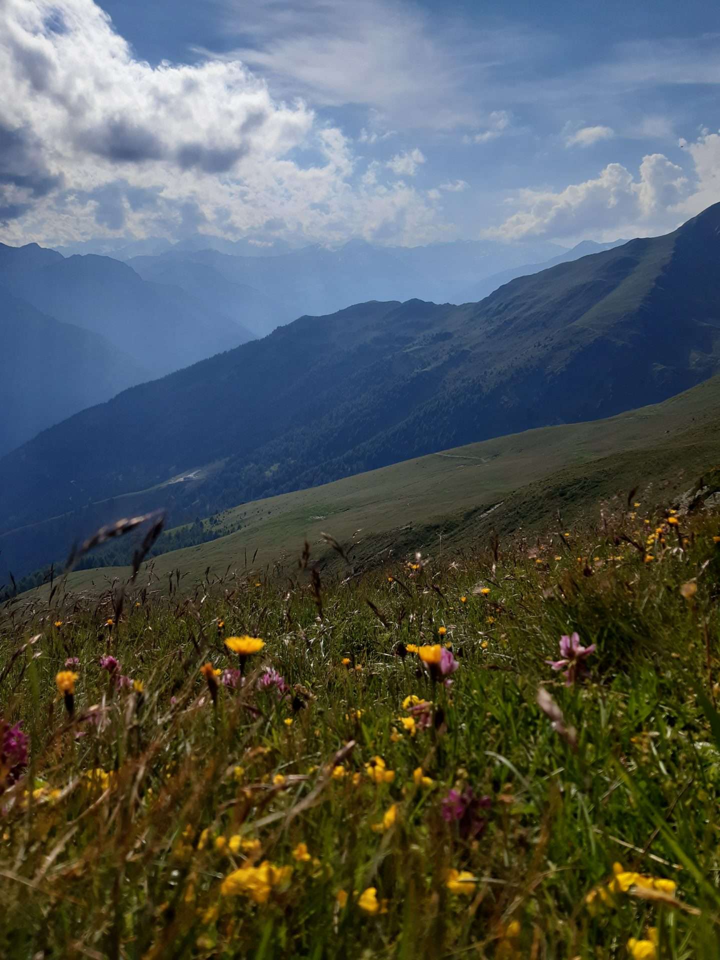
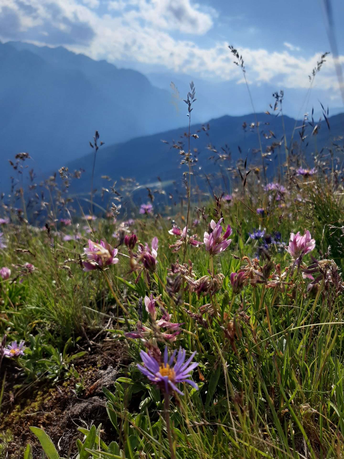
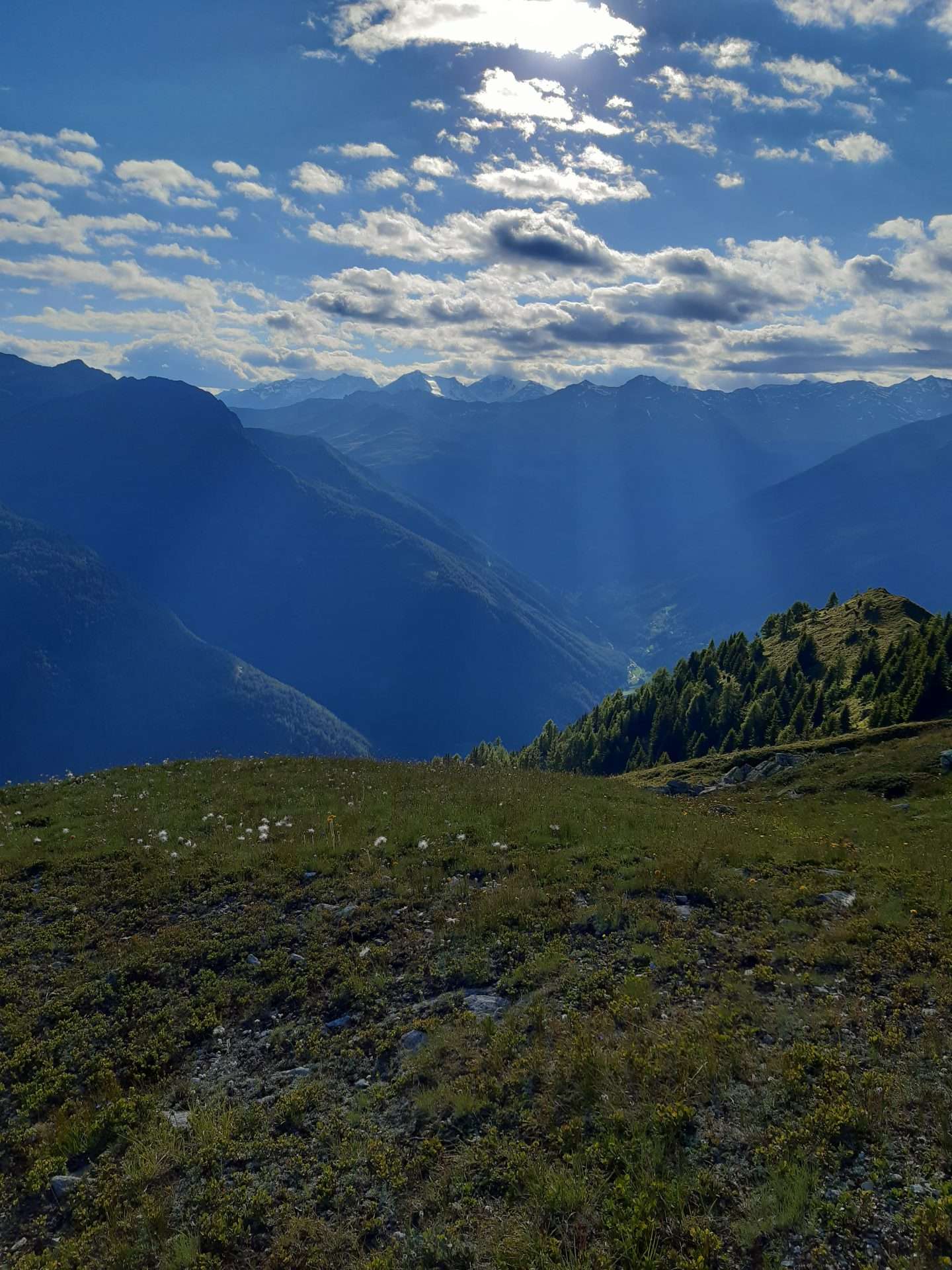
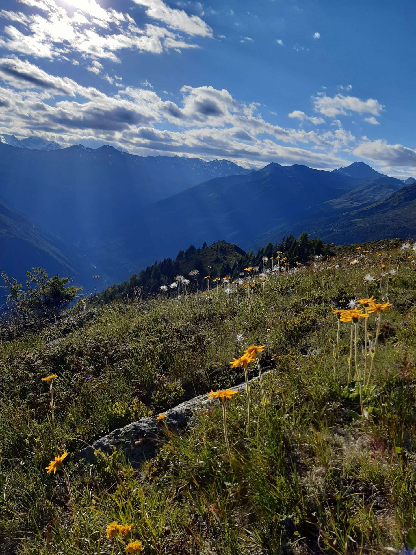
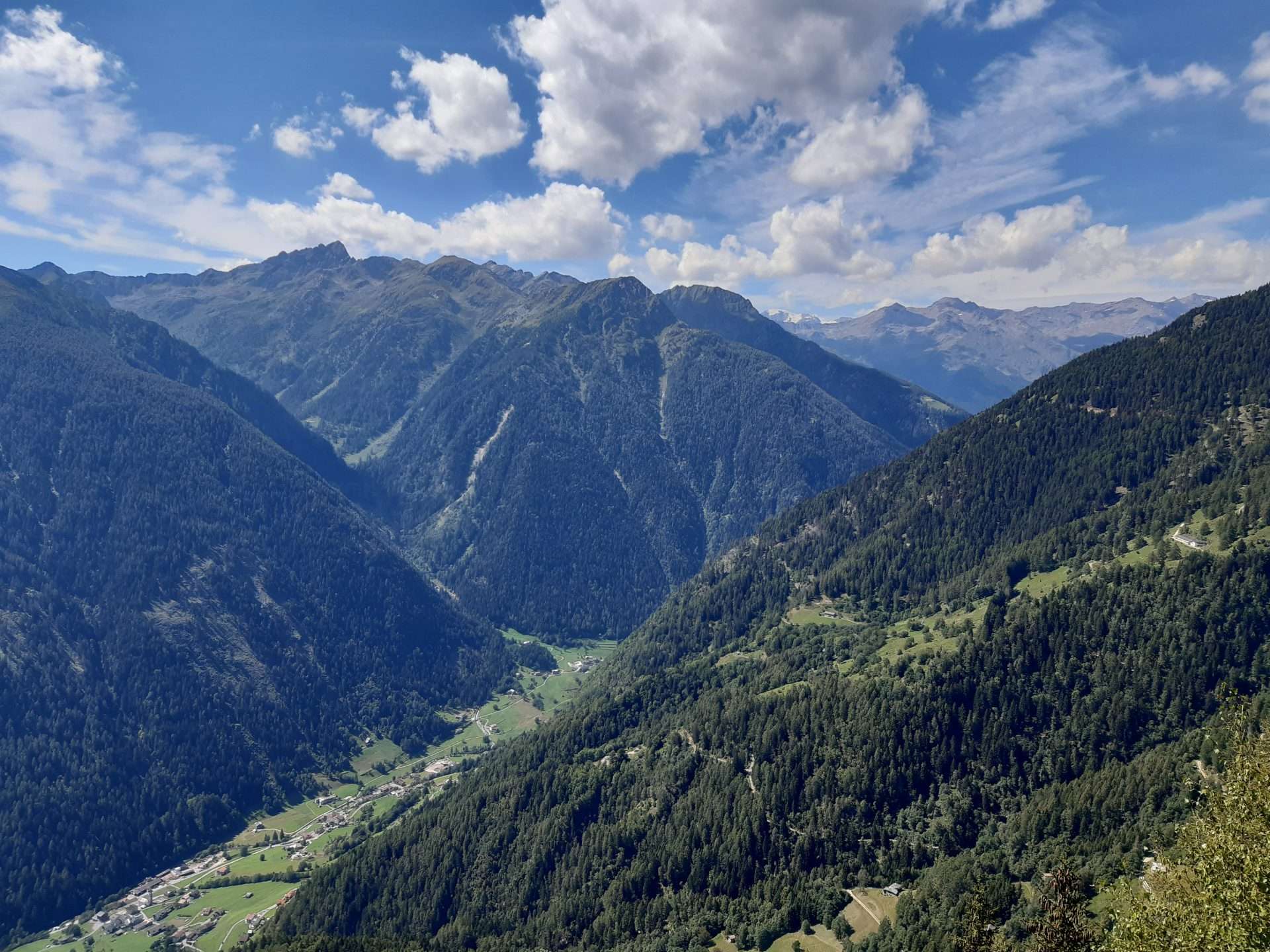
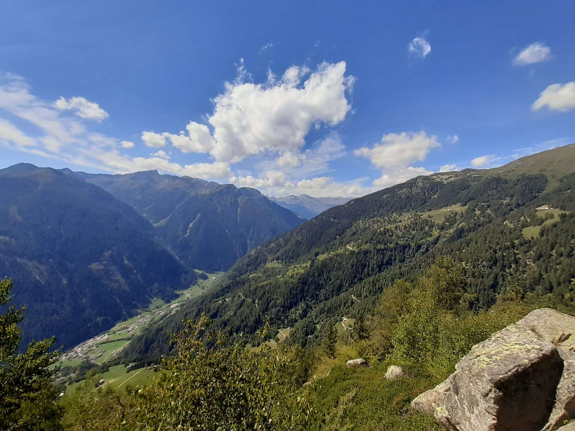
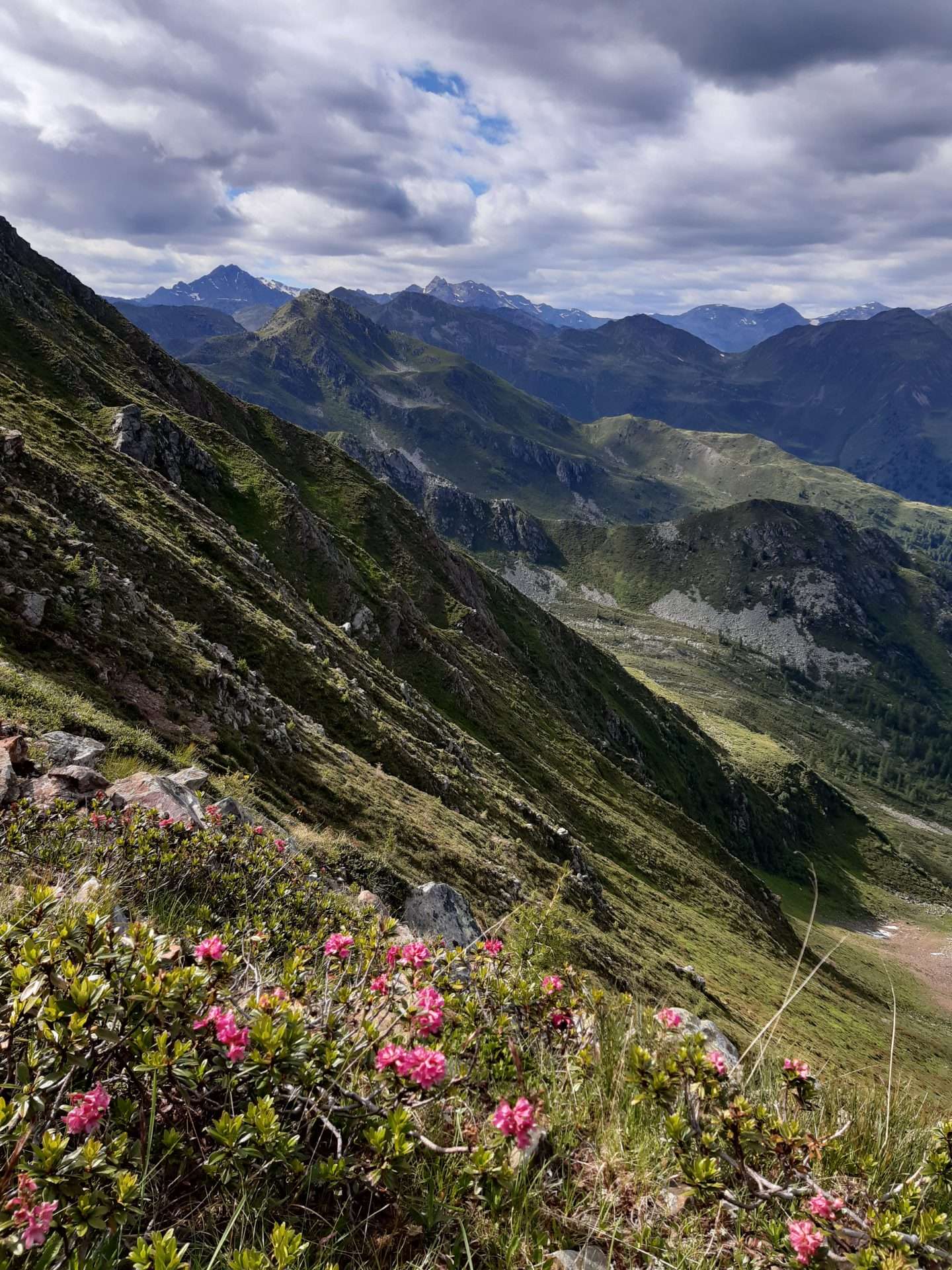
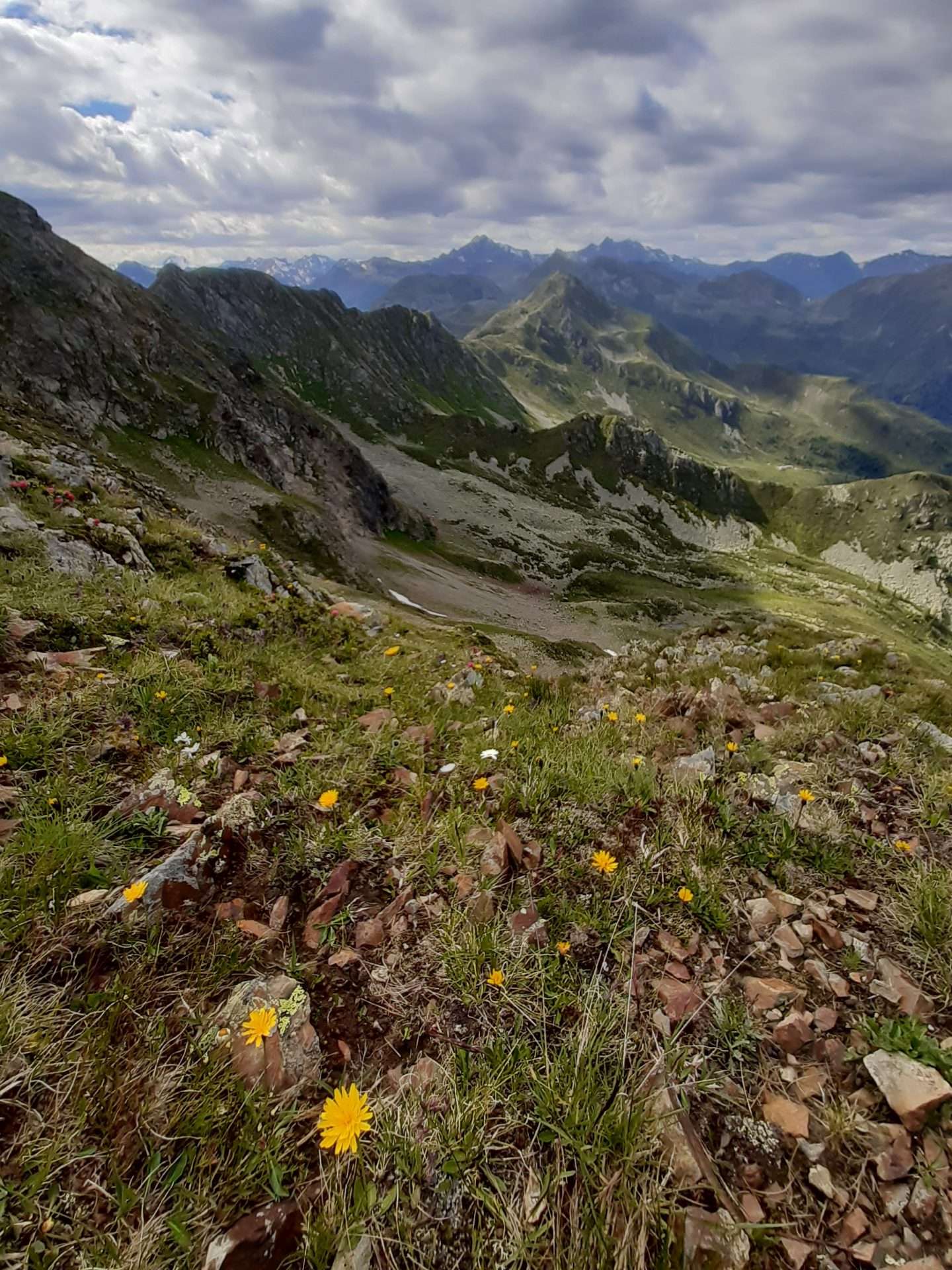
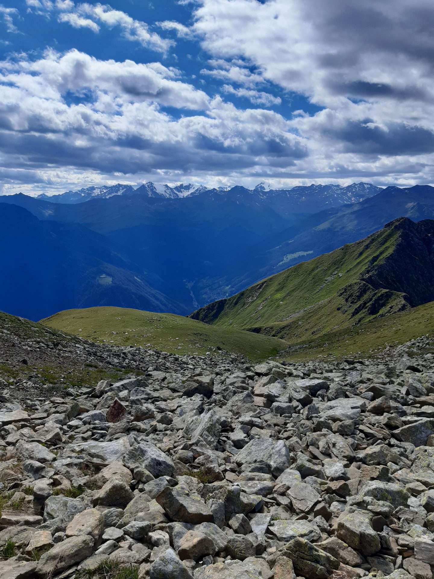
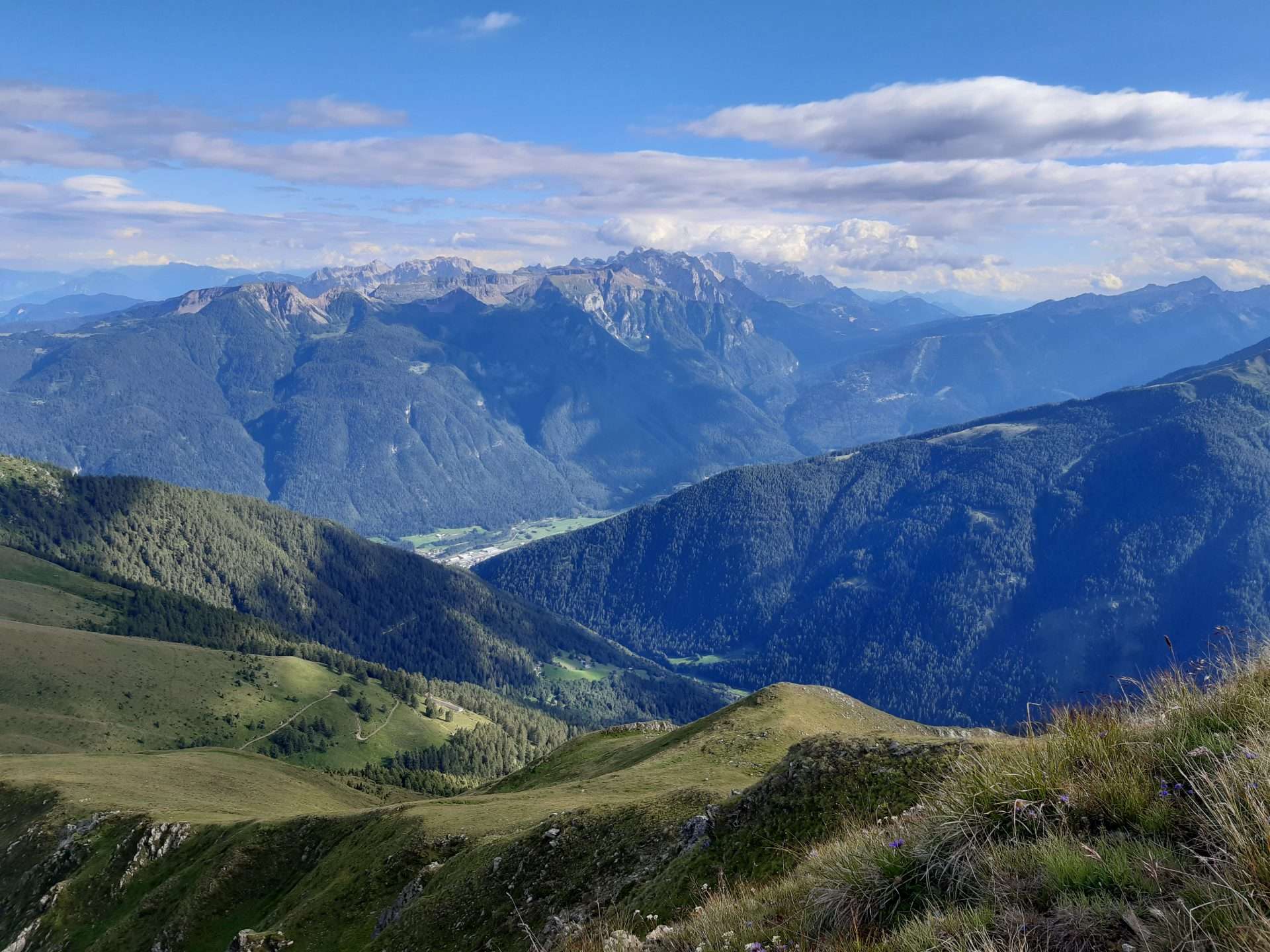
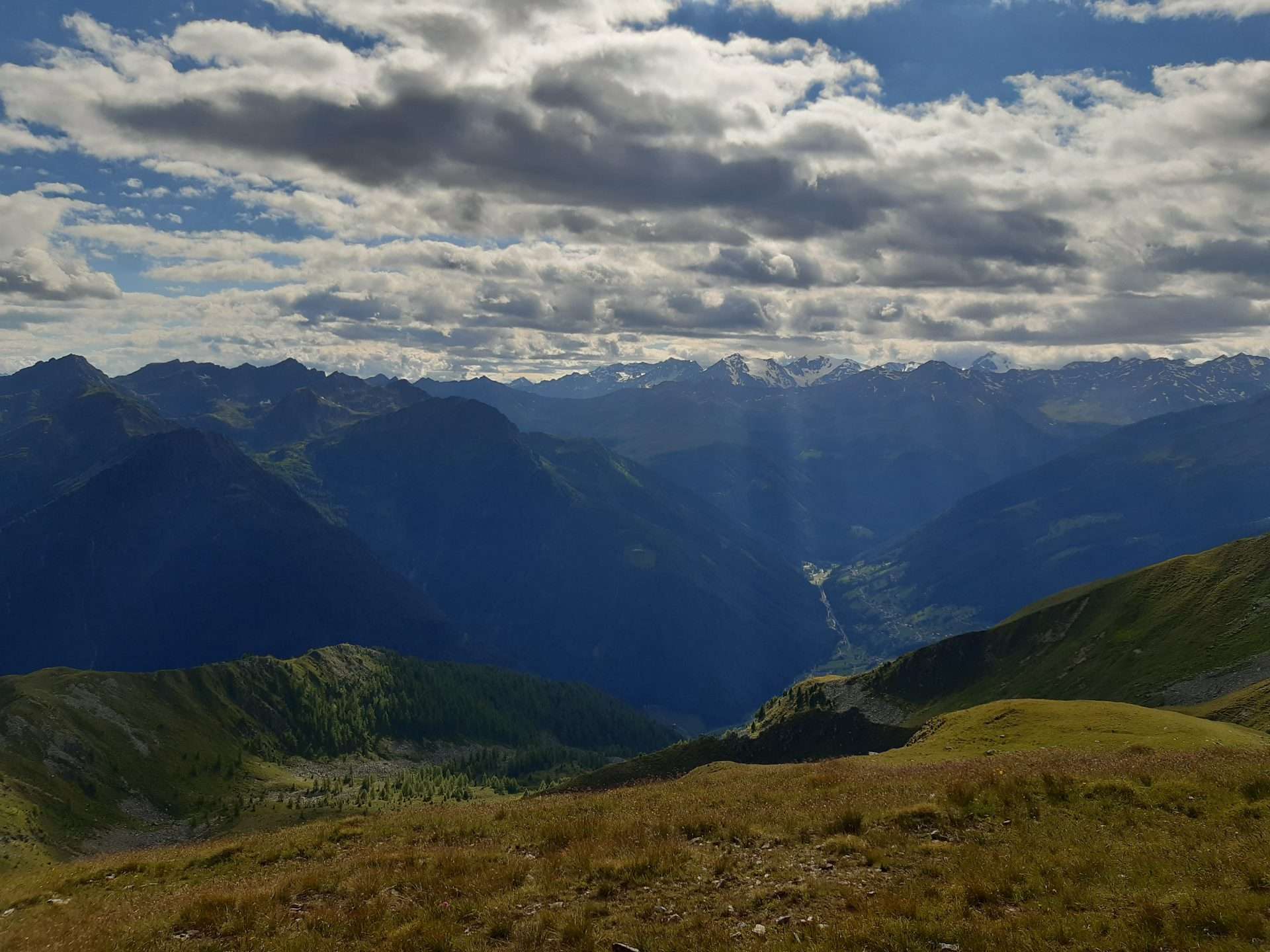
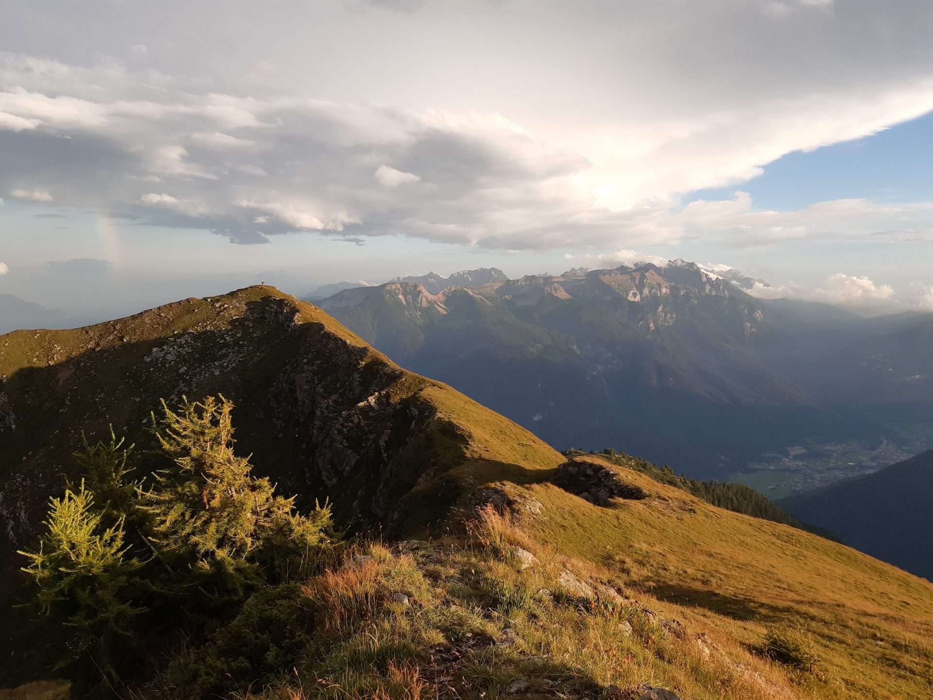
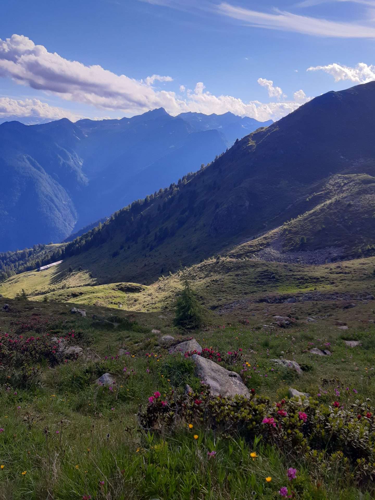
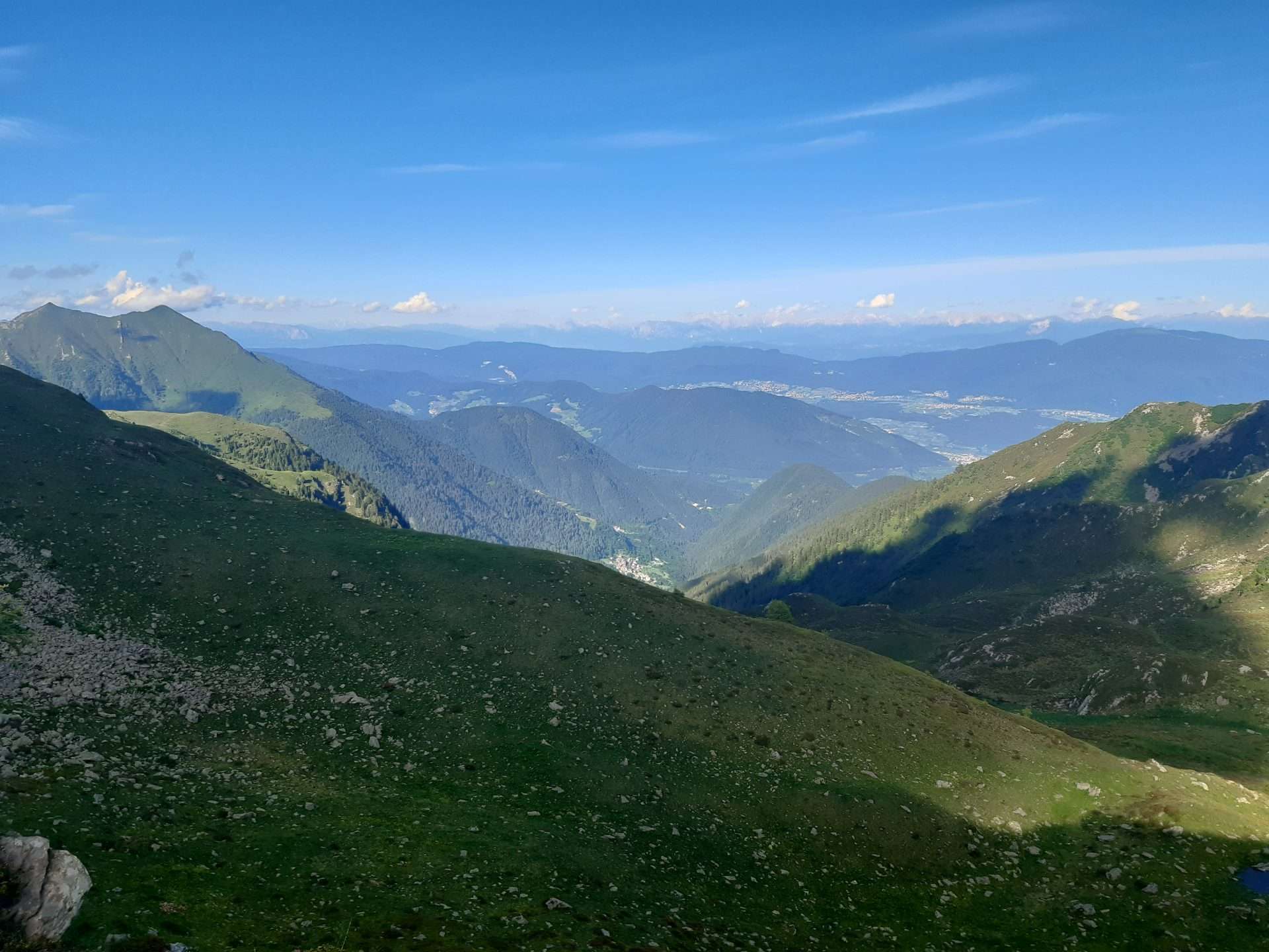
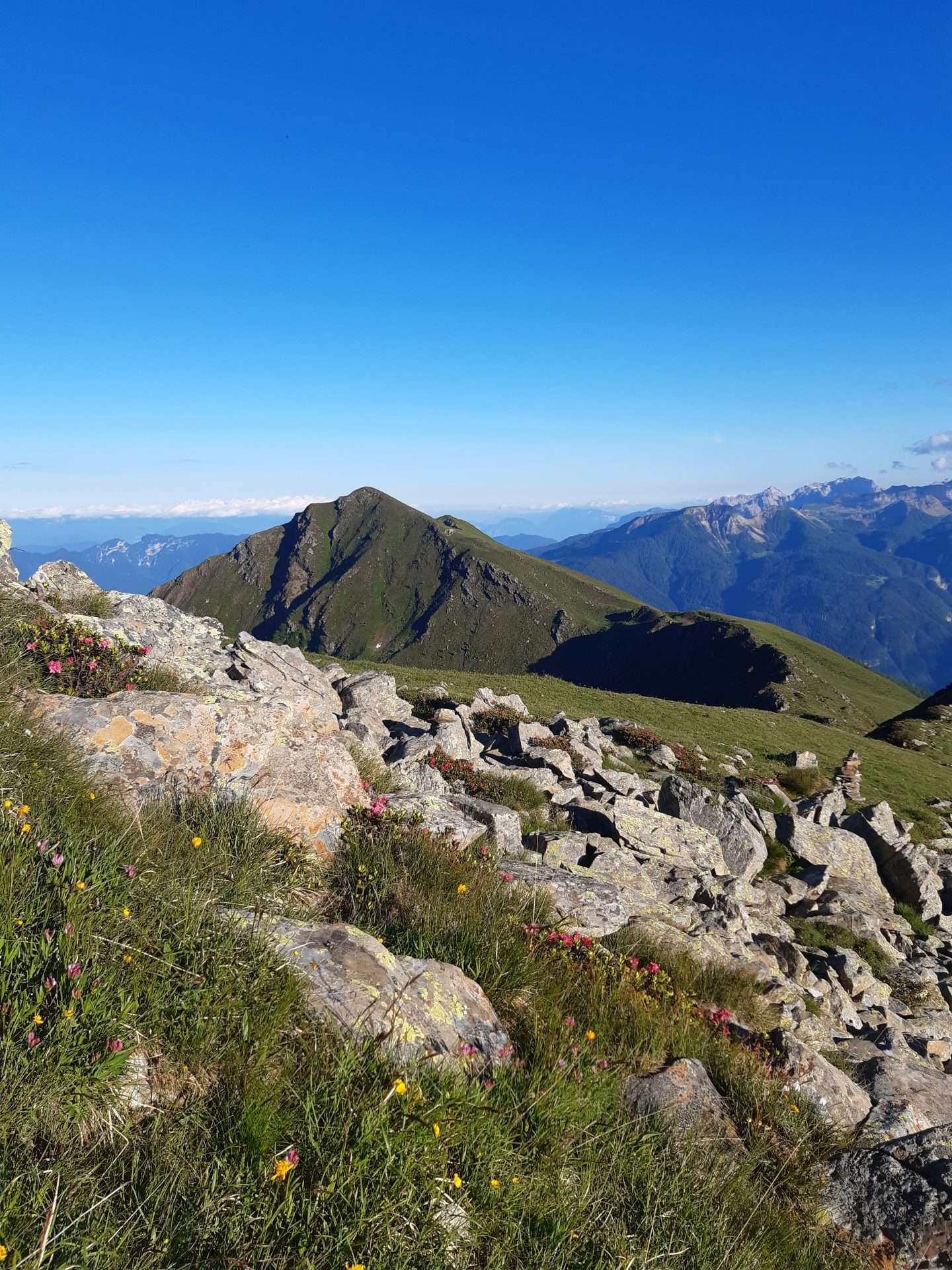
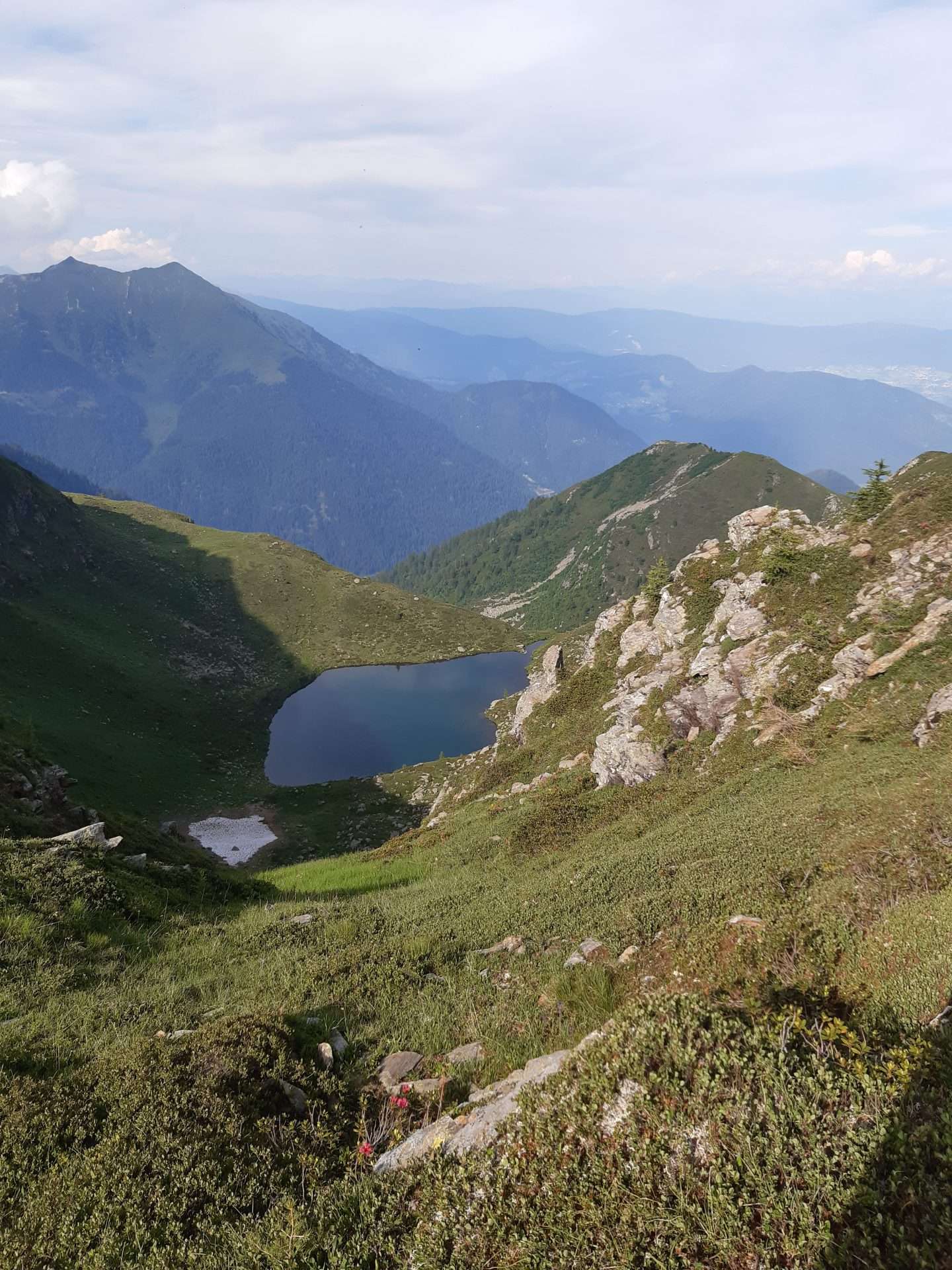
The malga is located in the foothills of the green peaks of the pristine Maddalene mountain range, at the edge of the vegetation; from here, you can see the mountains of Val di Sole, Val di Non and the Brenta Dolomites.
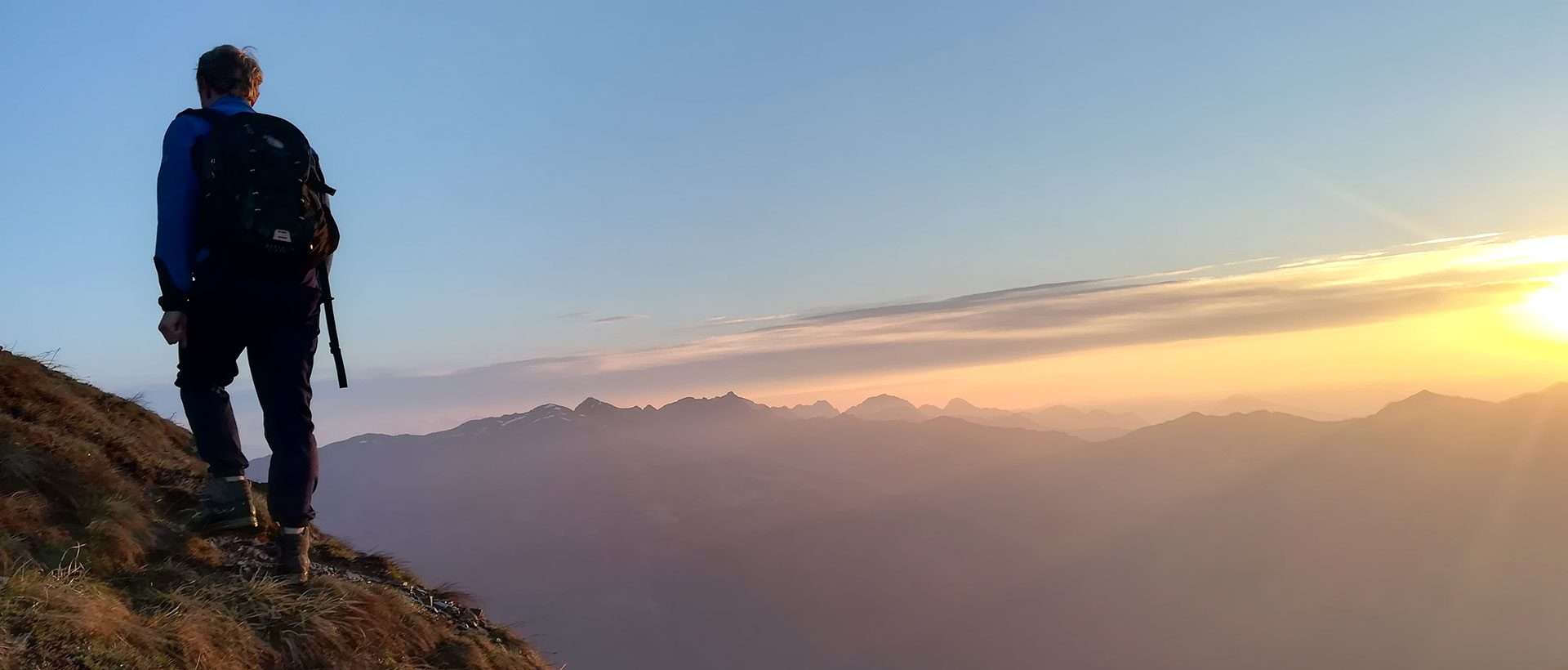
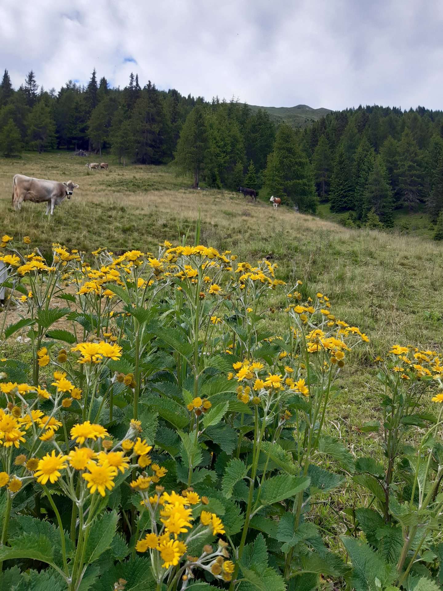
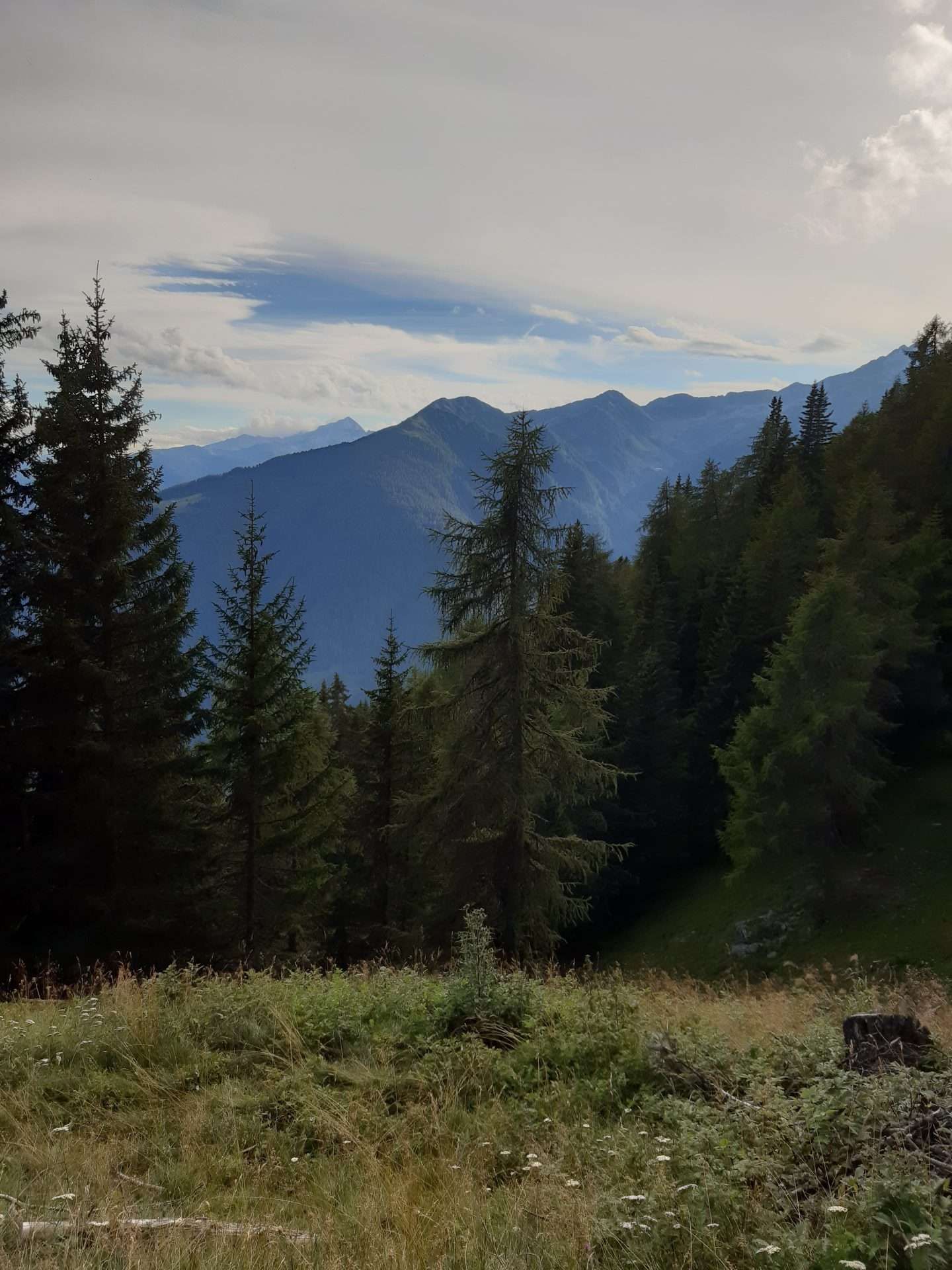
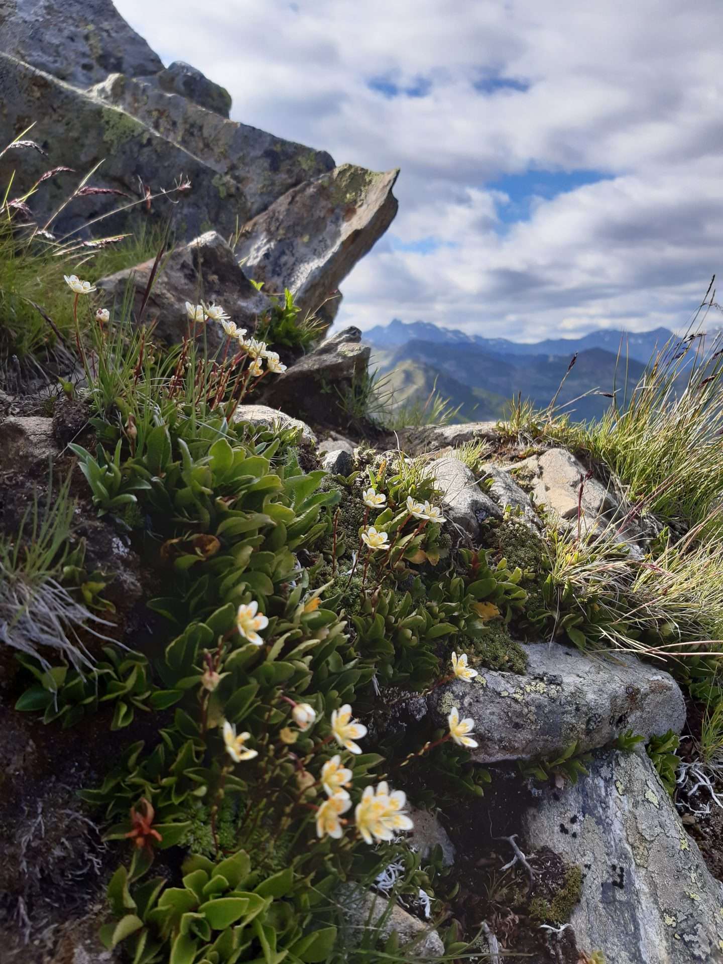
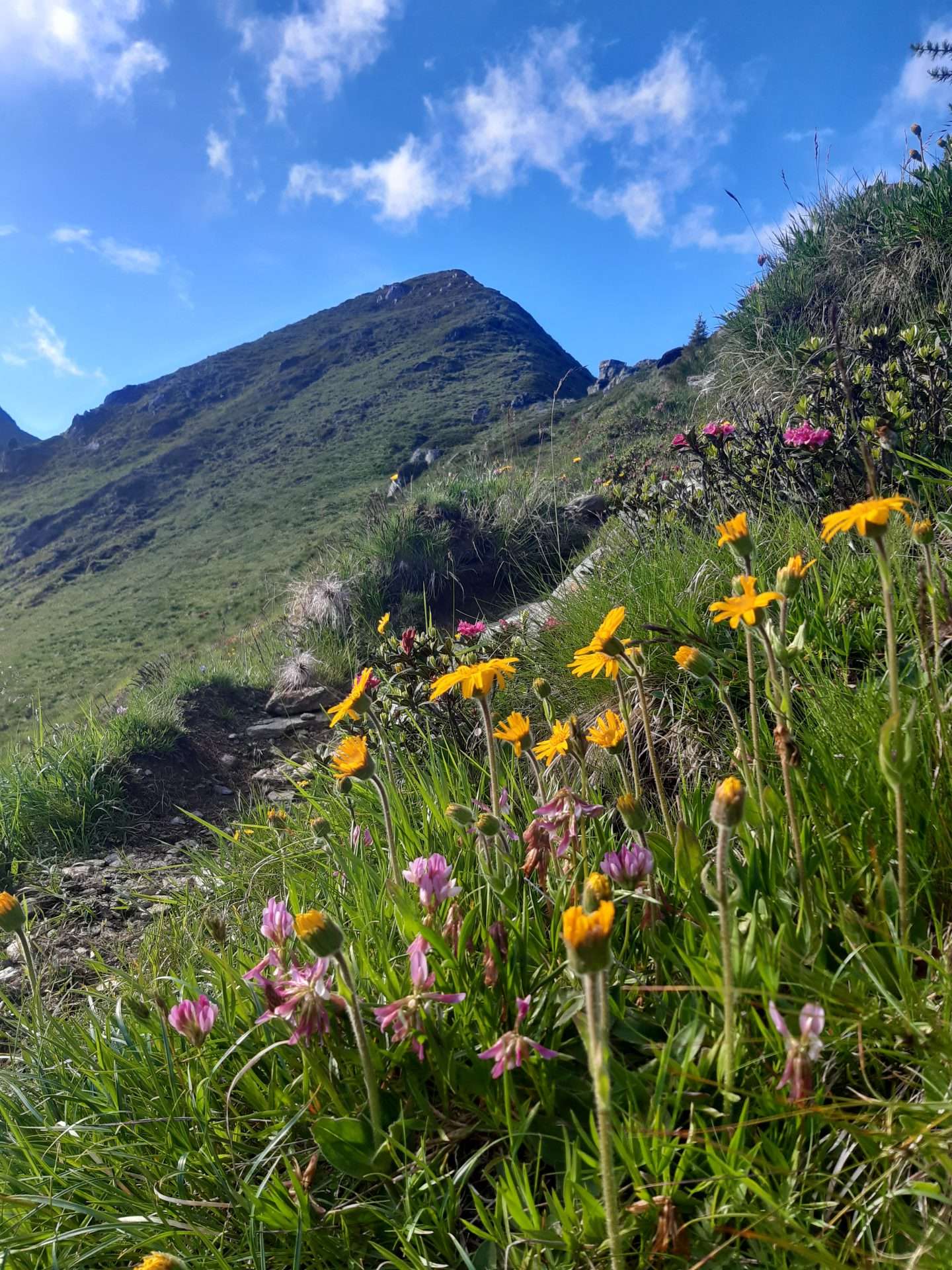
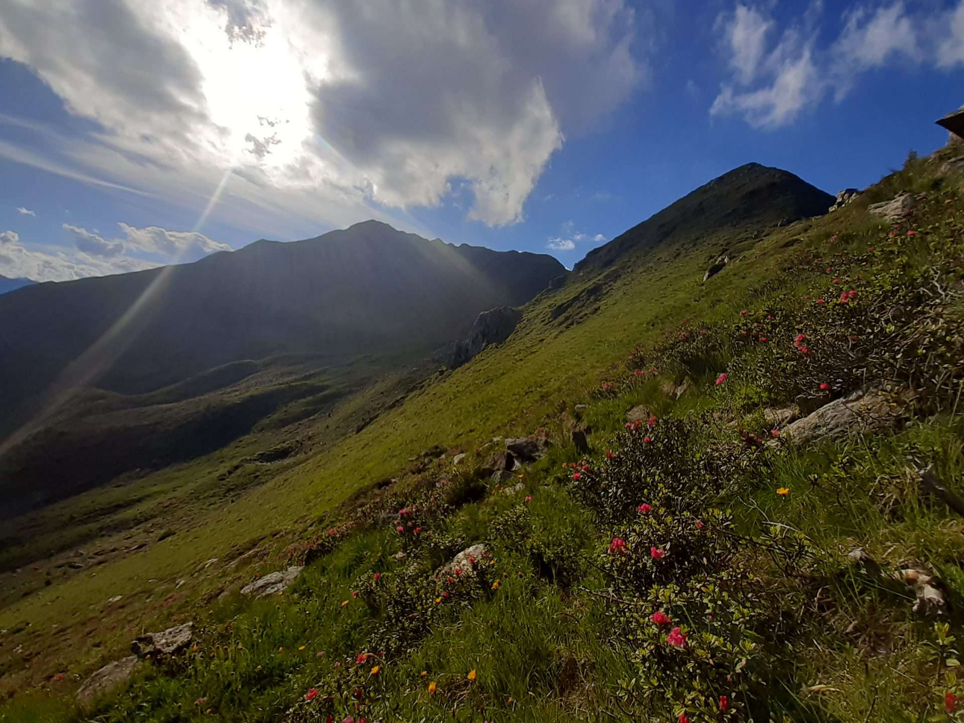
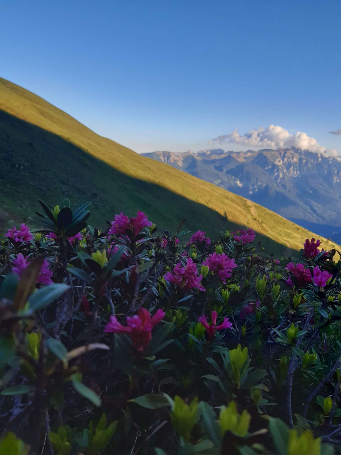
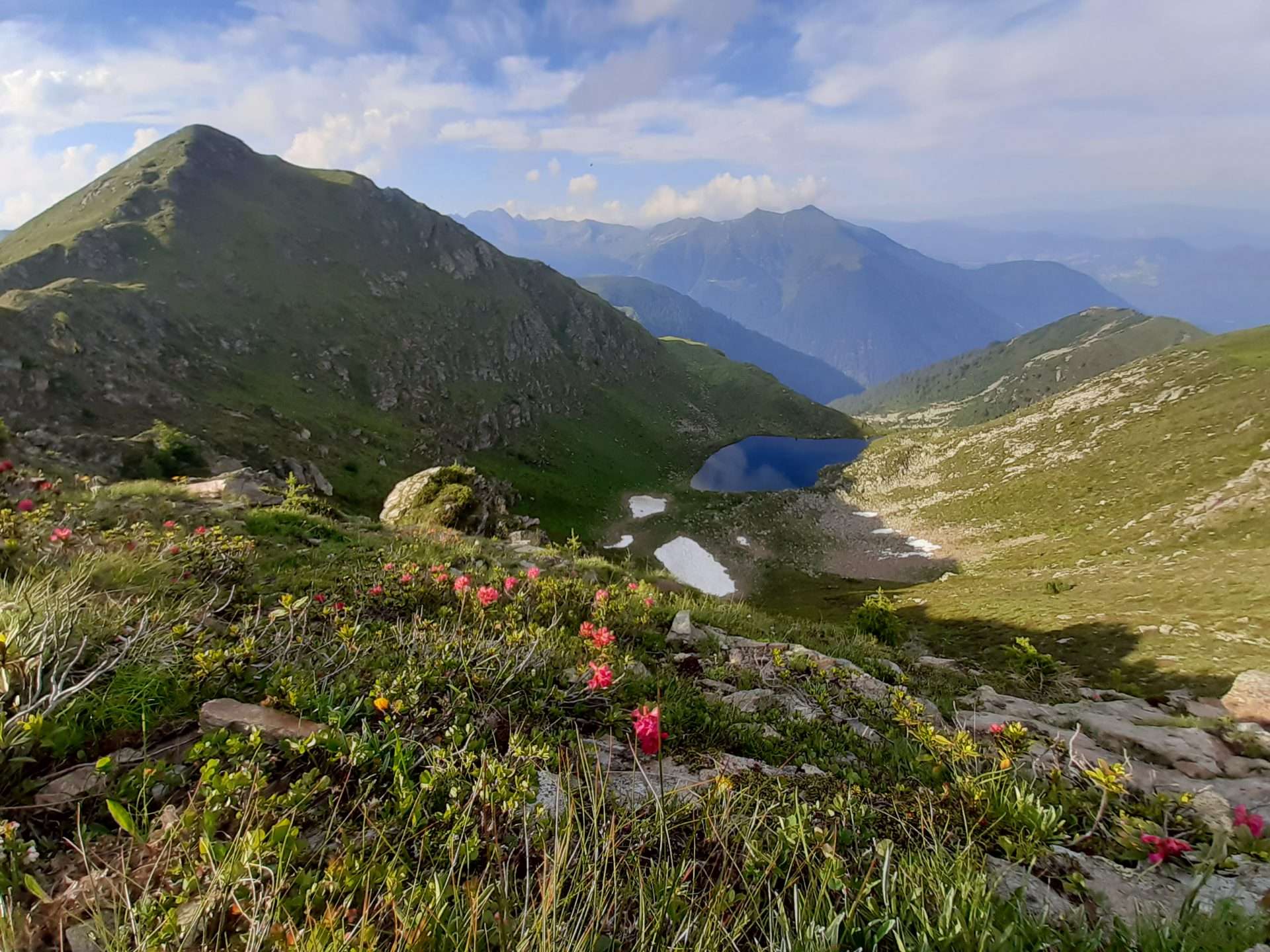
In such a context, each excursion offers unique views, colourful blooms and wild animals for you to discover among the larch and fir forests.
Via delle malghe
This path links the high mountain malgas of the Val di Rabbi, of which we are the starting/finishing point.
The path enters the Val di Rabbi at the edge of the vegetation, offering glimpses of the valley, and reaches the Malga Mandrie alta (2033m) in about an hour’s walk.
From here you can either return, walk down to San Bernardo di Rabbi, or up to the Malga Zoccolo alta (2118m) and continue towards the Stella Alpina Lago Corvo refuge (4-5 hours from the Mondent malga).
Difficulty: while there are no technical difficulties, the length of the route requires good physical preparation.
A variant for the more experienced is the ascent to Cima Zoccolo (Zoccolo peak) and return to the ridge via Cima Mandrie (Mandrie peak) (2583).
Cima Mandrie
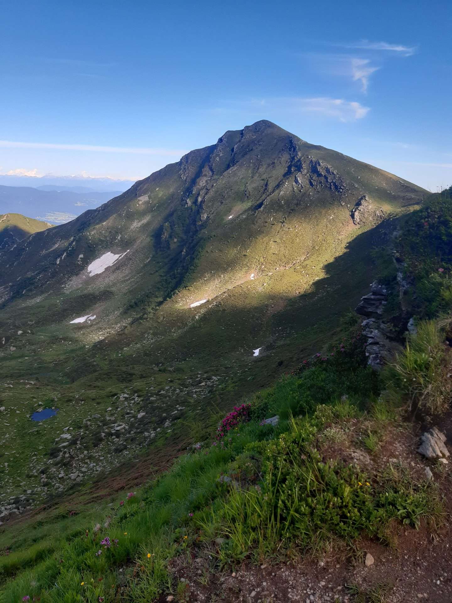
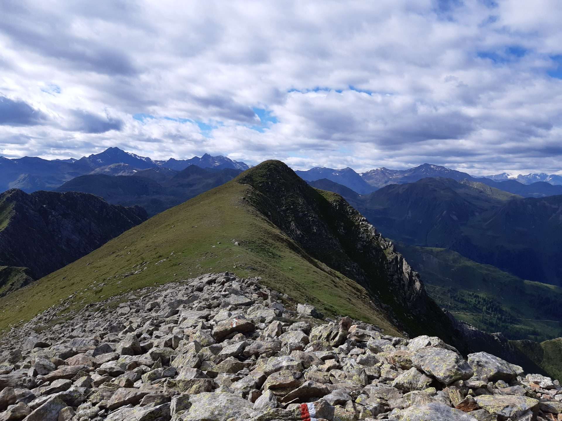
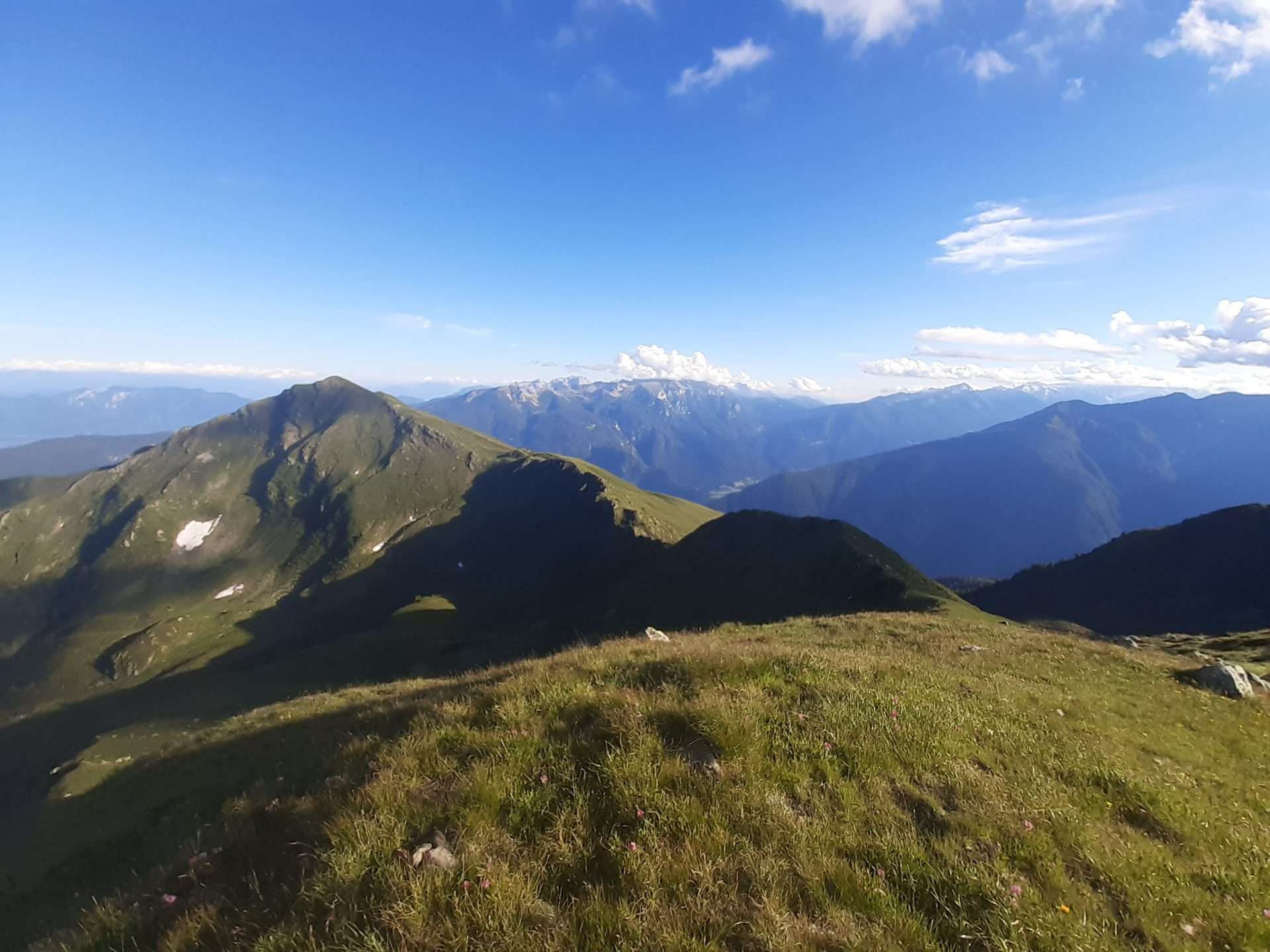
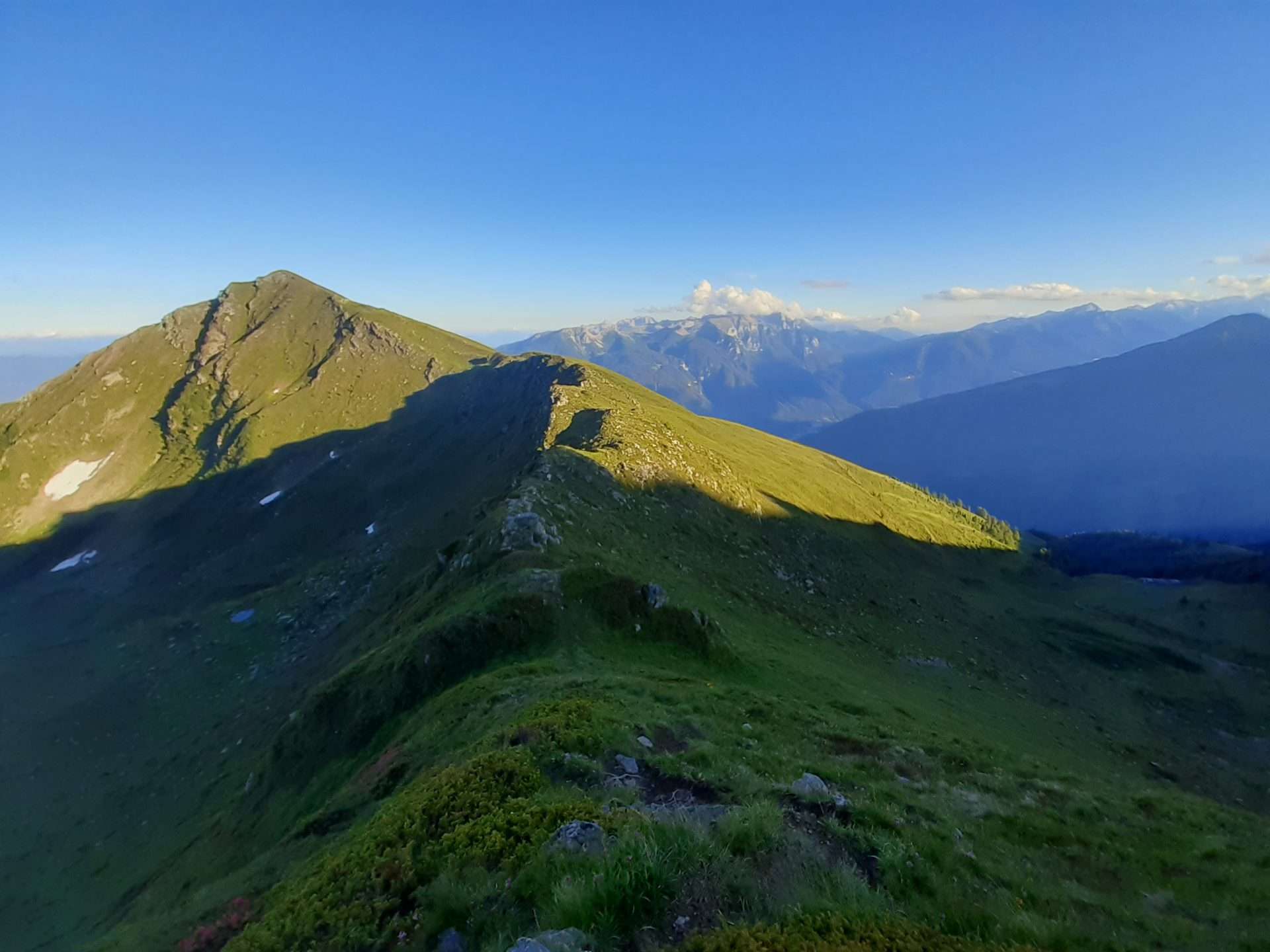
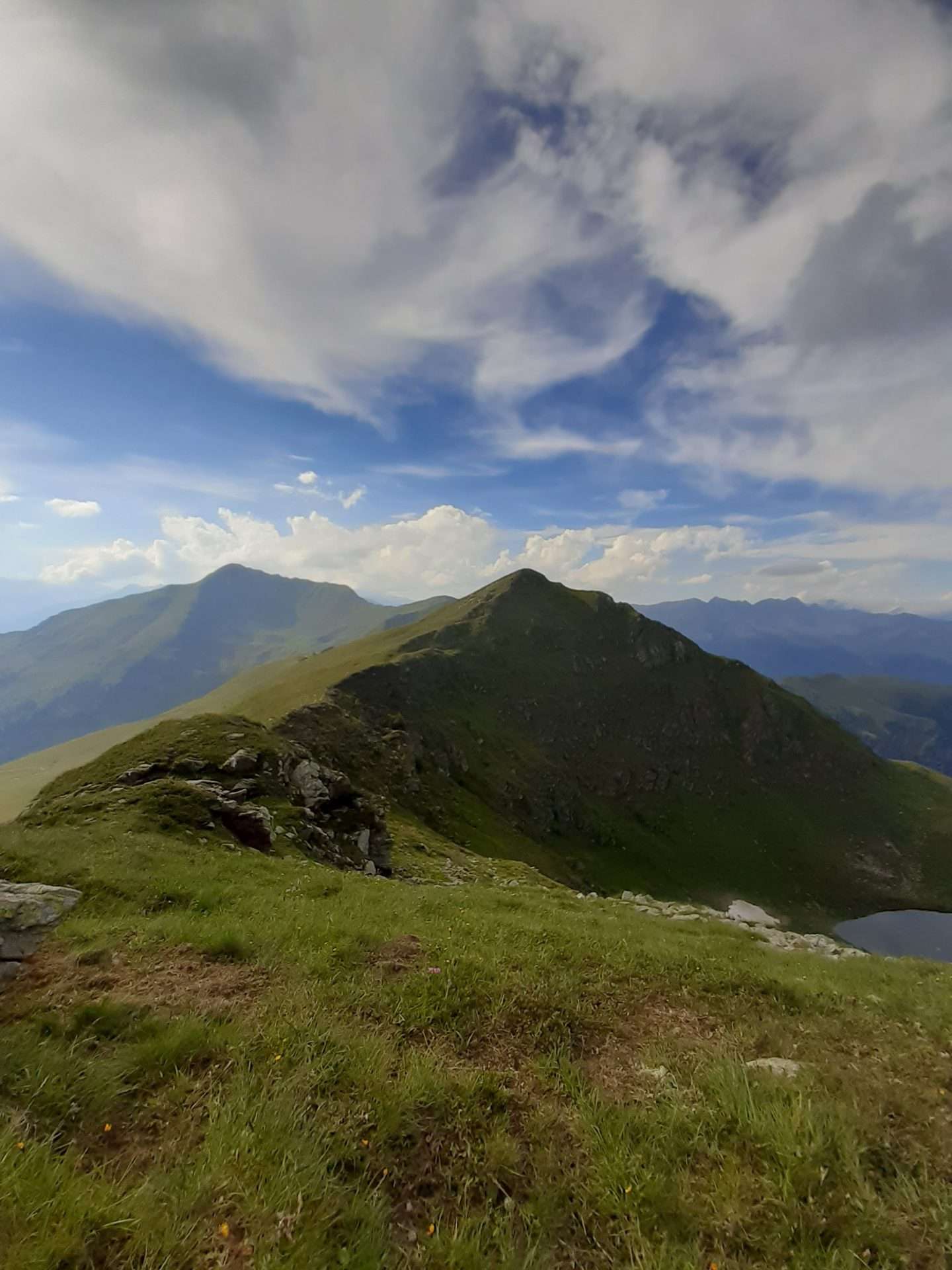
Nicknamed “El Cimon”, it is located in the western sector of the Maddalene Range and offers an extremely panoramic view due to its isolated position between Val di Rabbi and Val di Bresimo.
It is mostly visited in winter by ski mountaineering enthusiasts, while in summer the ascent of this mountain is not very popular, making it a particularly suitable excursion for those who appreciate wilder and pristine environments.
From the Malga Mondent alta, walk to the Malga Cortinga di sopra (2050m) and take path no. 117 to Pas de l’Om (2331m).
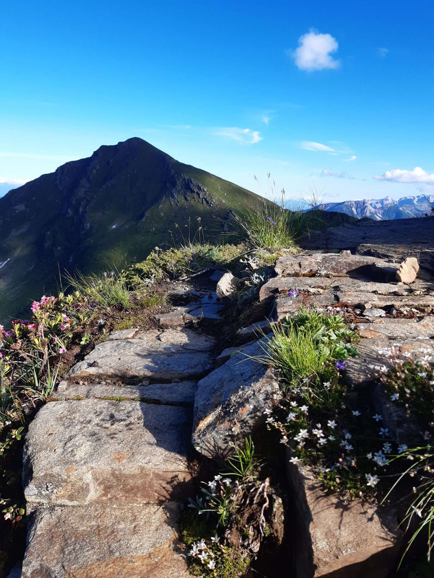
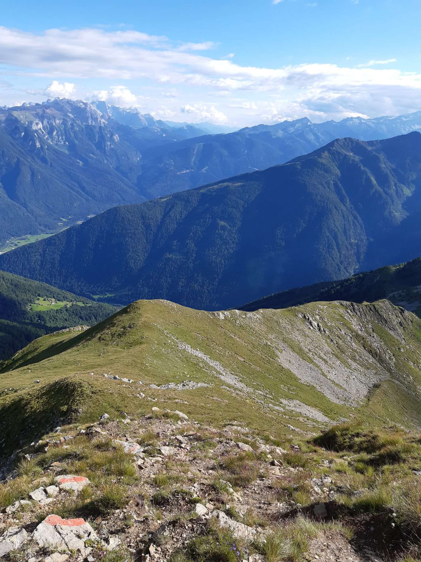
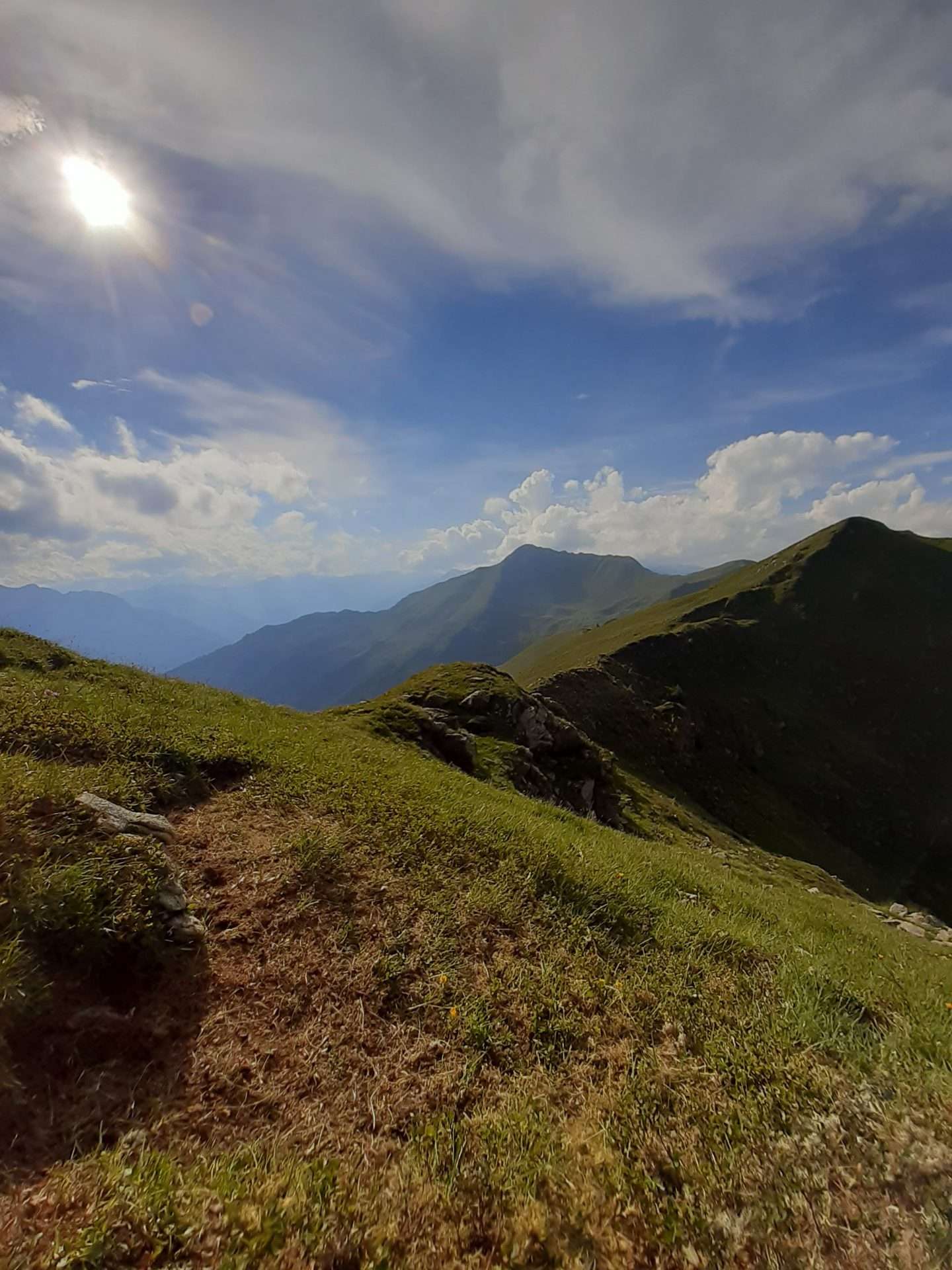
Take the scenic path no. 118 which, with several ups and downs, runs along the comfortable north-east ridge of the Cima delle Mandrie.
After a final, slightly exposed section on small rocks, you reach the summit (2583m).
Walking time: 2.00 h one way
Difficulty: Medium (E)
Cima Vese
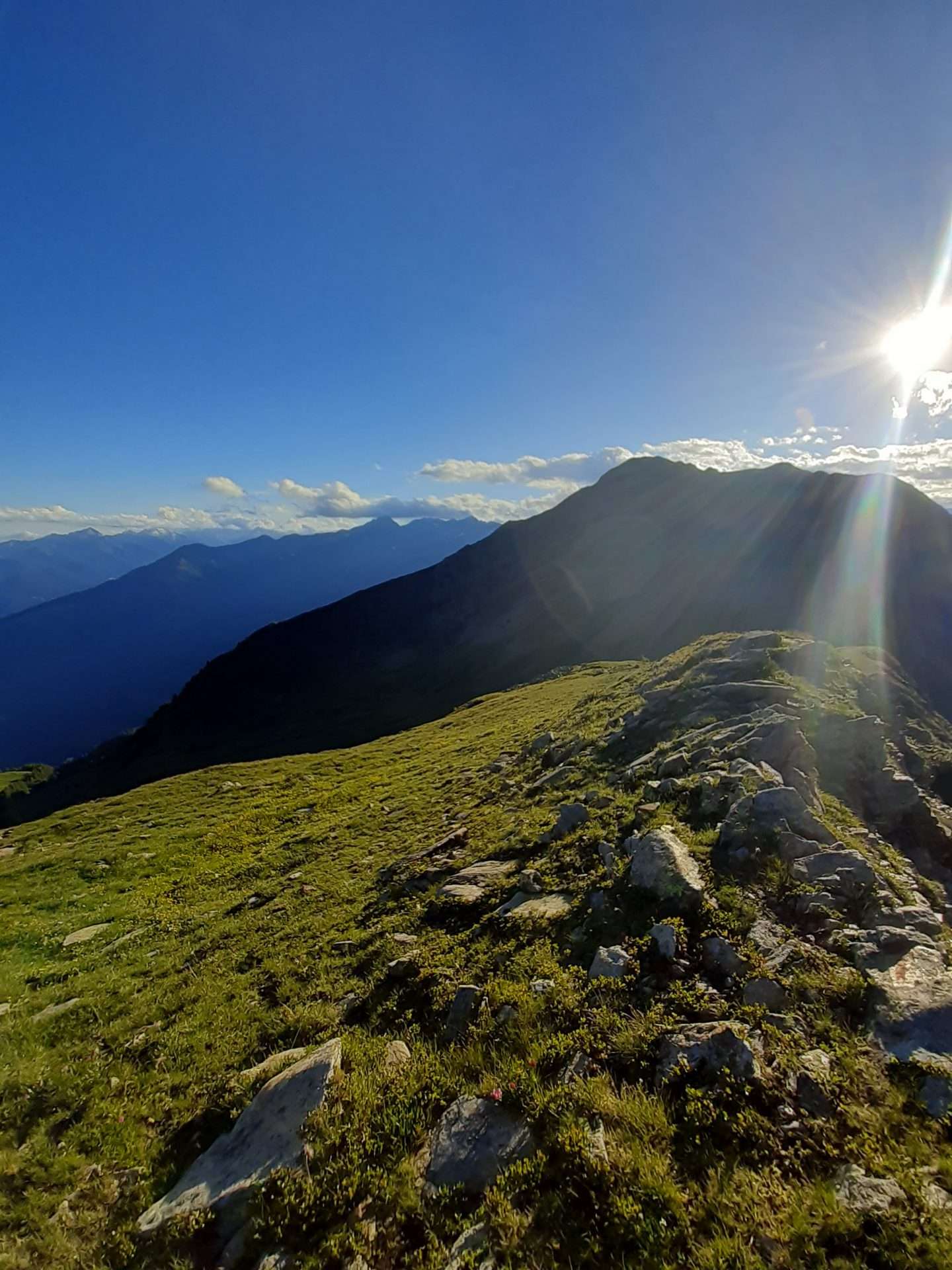
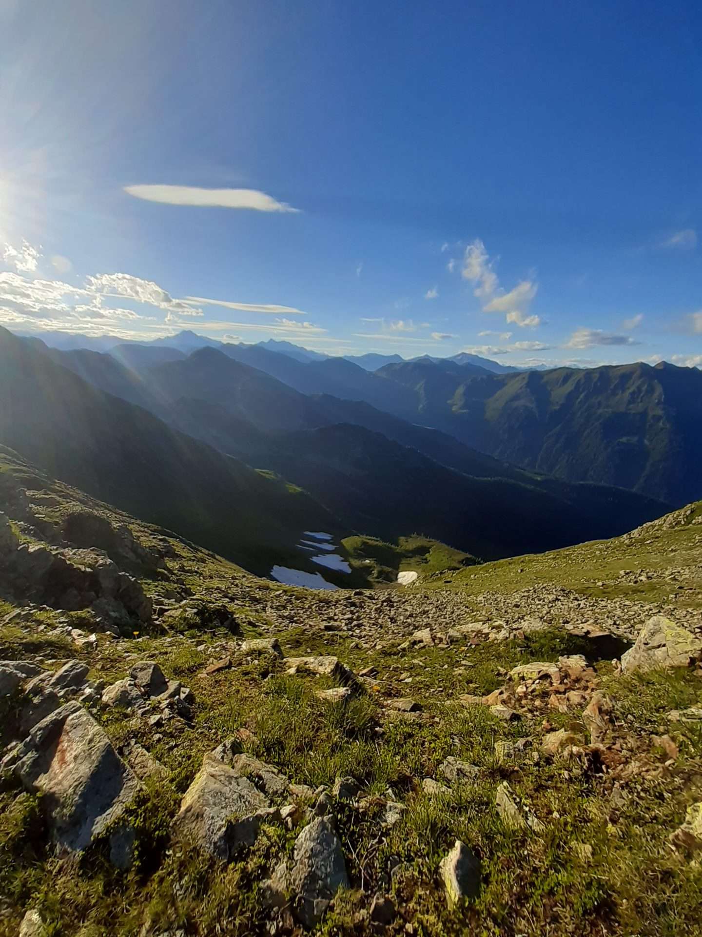
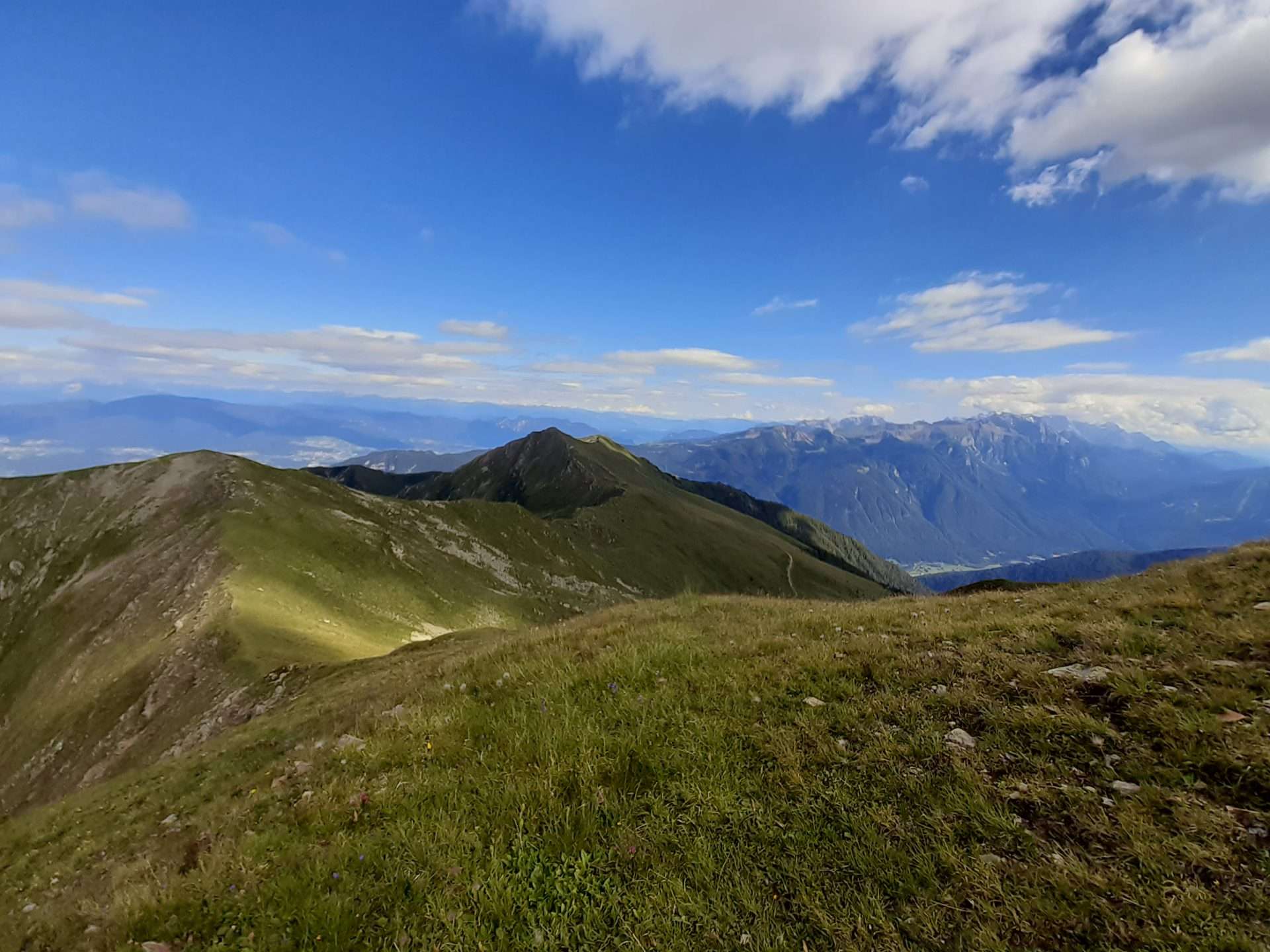
The 2400 m of Cima Vese (Vese peak) is a splendid panoramic terrace, with a 360° view of the Brenta Dolomites, Val di Sole, Presanella, Val di Rabbi, the Ortles-Cevedale range, Maddalene and Alta Anaunia.
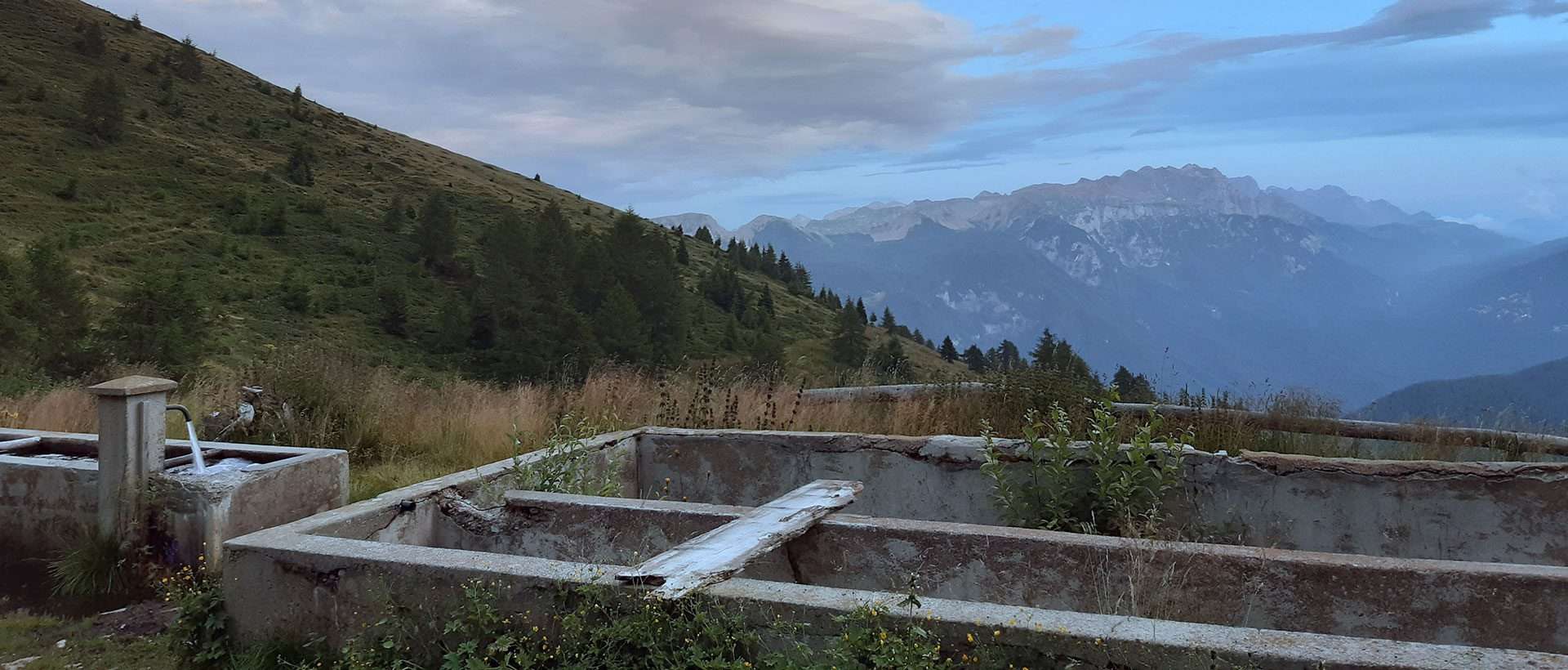
Behind Malga Mondent, take the forest trail leading to Malga Cortinga Alta. Then follow the signpost for Pas de l’Om and continue for about 100m to a drinking trough for cattle.
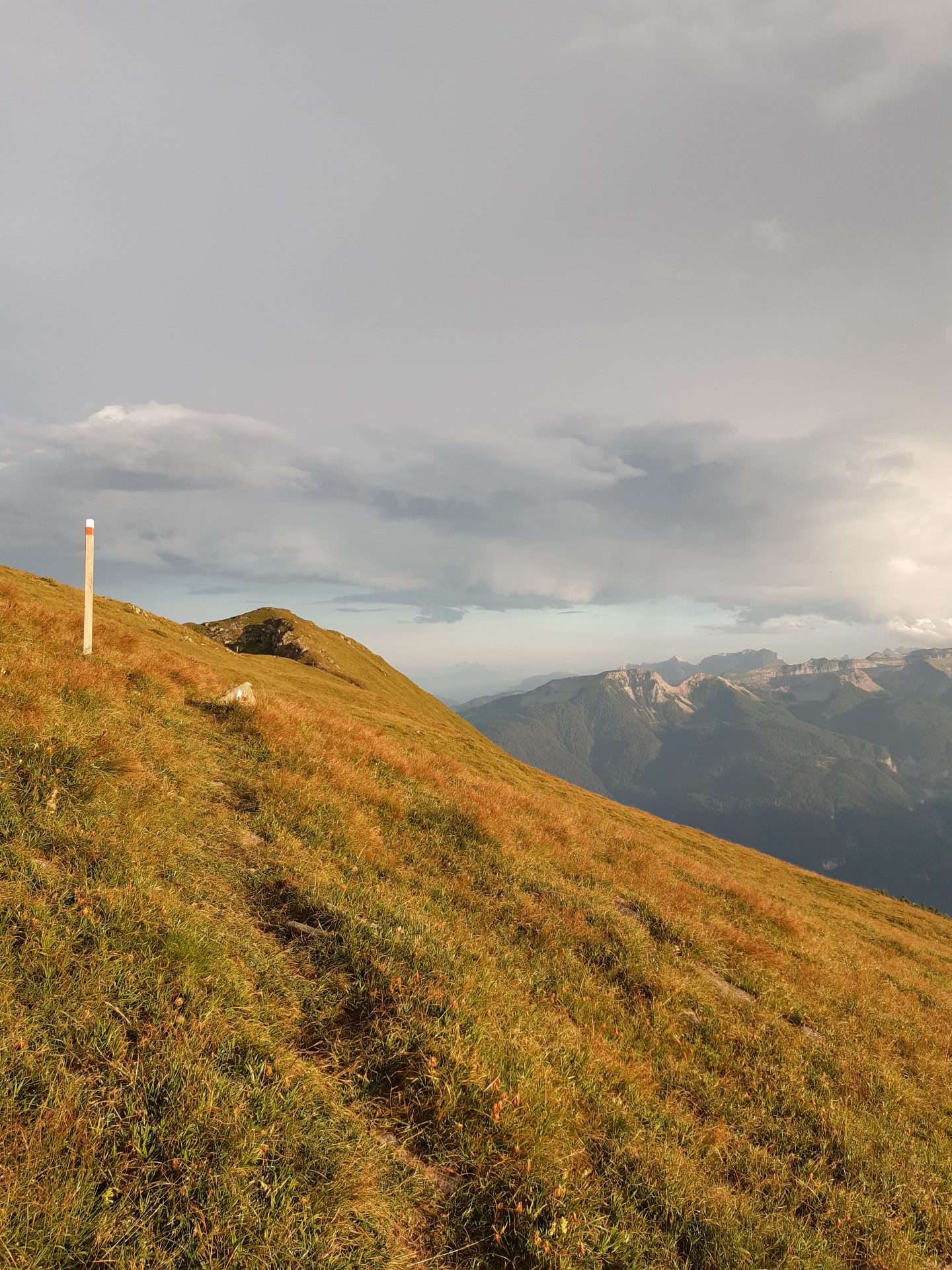
From there, take a wide path on the right that climbs up the vast meadow, marked by small wooden posts with red-coloured tops.
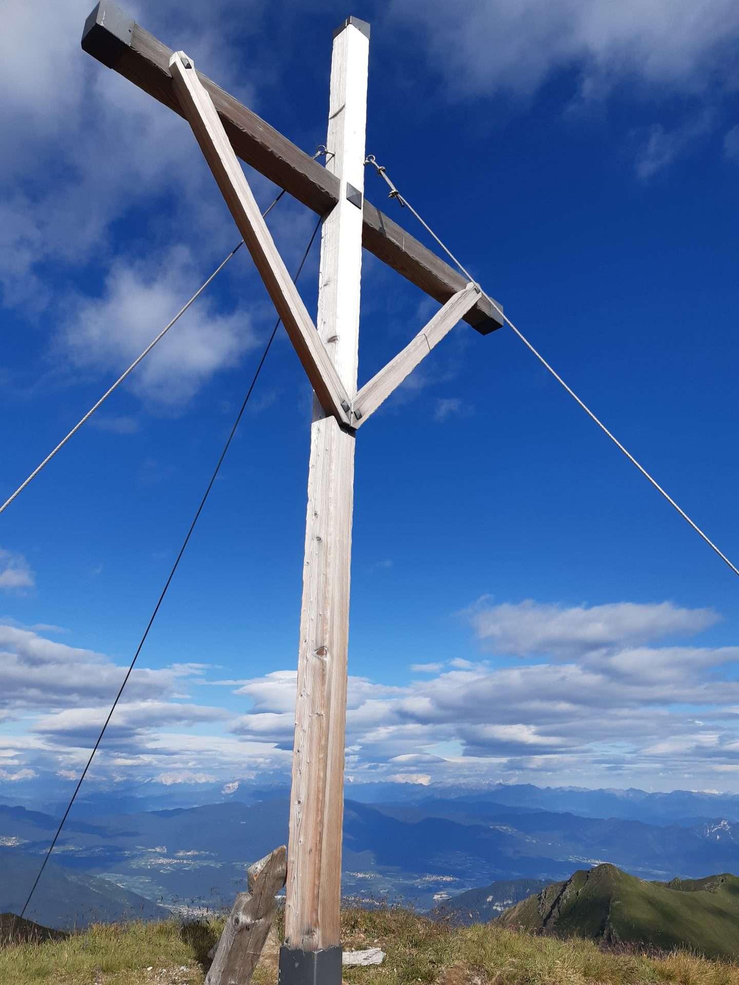
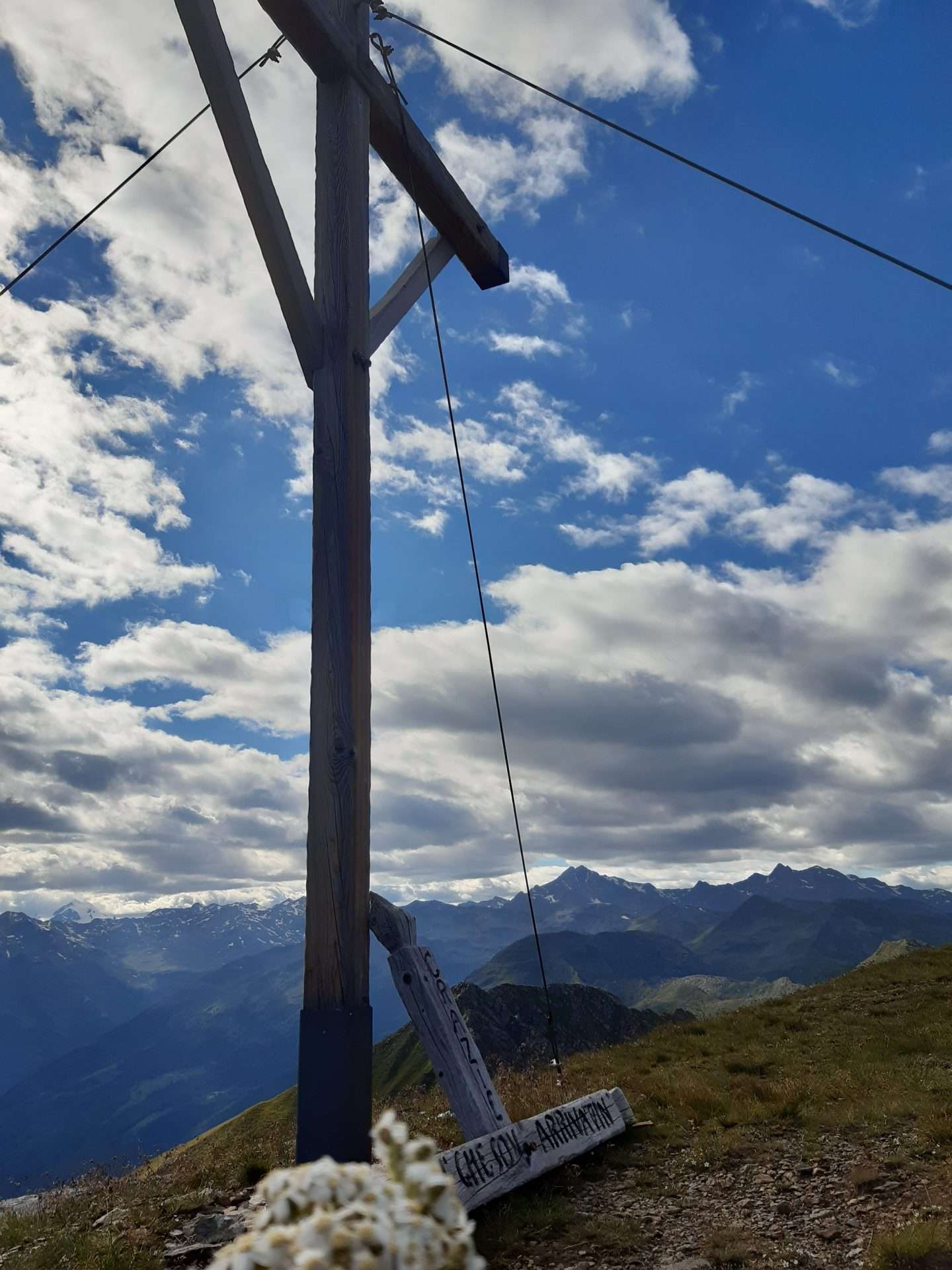
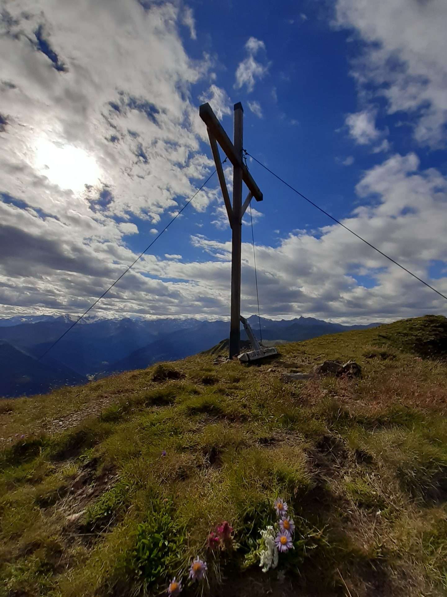
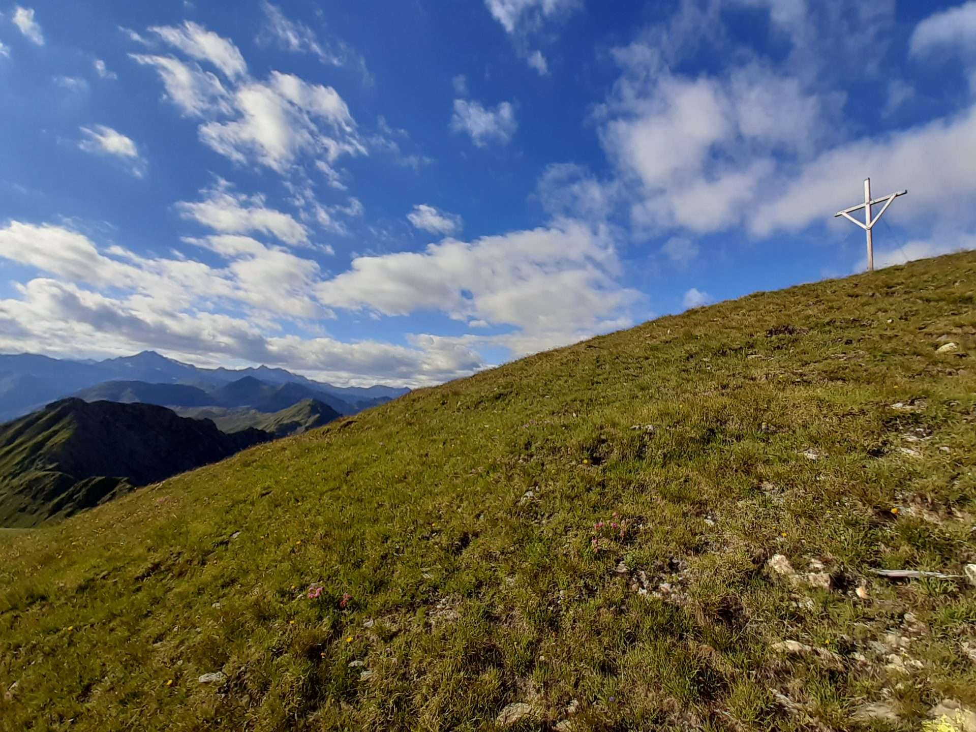
Continue up to the ridge; the peak with the cross remains on the right as you climb.
This excellent excursion does not present any major obstacles except in the presence of fog or storms.
Walking time: 1.20h one way
Difficulty: Easy (E)

